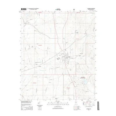
2015 Map of Ackerman
USGS Topo · Published 2015About this map
Ackerman serves as the central hub of this Choctaw County landscape, where the local street grid meets the passage of the Yockanookany River and the high ground of Blantons Gap. The map details a transition from the structured residential and commercial center of town to the more dispersed settlements of Fentress, Tollison, and Chester. To the southeast, the terrain shifts into the protected timberlands of the Tombigbee National Forest, anchored by the recreational waters of Choctaw Lake.
Find a feature on this map
96 named features on this map. Tap any name to fly to it.
Don’t see what you’re looking for? This feature index may not catch every label — zoom into the map to look around manually.
Map Details
Editions of this 2015 Ackerman Map
This is the sole edition of this map. No revisions or reprints were ever made.
Other maps of this area

1953 · West Point
USGS Topo · 1:250,000

1958 · West Point
USGS Topo · 1:250,000

1963 · West Point
USGS Topo · 1:250,000

1966 · Weir
USGS Topo · 1:24,000

1966 · Tomnolen
USGS Topo · 1:24,000

1968 · Weir
USGS Topo · 1:62,500

1972 · Louisville North
USGS Topo · 1:24,000

1972 · McCool
USGS Topo · 1:24,000

1972 · Highpoint
USGS Topo · 1:24,000

1972 · Double Springs
USGS Topo · 1:24,000