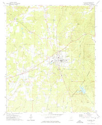
1972 Map of Ackerman
USGS Topo · Published 1975About this map
Ackerman serves as a central hub in this Mississippi landscape during the early 1970s, where the Illinois Central Gulf railroad bisects the terrain from northeast to southwest. The map documents a rural network of small communities and family landmarks, including Chester to the northwest and Fentress near the Yockanookany River. The southeastern quadrant is defined by the managed woodlands of the Tombigbee National Forest, surrounding the recreational waters of Choctaw Lake and the Noxubee River headwaters.
Find a feature on this map
36 named features on this map. Tap any name to fly to it.
Don’t see what you’re looking for? This feature index may not catch every label — zoom into the map to look around manually.
Map Details
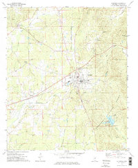
Editions of this 1972 Ackerman Map
2 editions found
Other maps of this area

1953 · West Point
USGS Topo · 1:250,000

1958 · West Point
USGS Topo · 1:250,000

1963 · West Point
USGS Topo · 1:250,000

1966 · Weir
USGS Topo · 1:24,000

1966 · Tomnolen
USGS Topo · 1:24,000

1968 · Weir
USGS Topo · 1:62,500

1972 · Louisville North
USGS Topo · 1:24,000

1972 · McCool
USGS Topo · 1:24,000

1972 · Highpoint
USGS Topo · 1:24,000

1972 · Double Springs
USGS Topo · 1:24,000