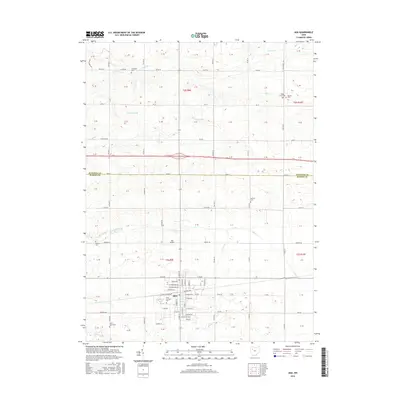
2016 Map of Ada
USGS Topo · Published 2016About this map
Ohio Northern Univ serves as the cultural and geographic anchor for the town of Ada, situated at the convergence of historic transit routes and agricultural drainage systems. The landscape is defined by its rectilinear section lines and a network of named ditches and creeks, including Binkley Ditch, Cummins Ditch, and the winding Riley Cr. These waterways reflect the systematic drainage necessary for the region's productive farmland.
Find a feature on this map
109 named features on this map. Tap any name to fly to it.
Don’t see what you’re looking for? This feature index may not catch every label — zoom into the map to look around manually.
Map Details
Editions of this 2016 Ada Map
This is the sole edition of this map. No revisions or reprints were ever made.
Other maps of this area

1905 · Arlington
USGS Topo · 1:62,500

1907 · Bluffton
USGS Topo · 1:62,500

1907 · Arlington
USGS Topo · 1:24,000

1913 · Alger
USGS Topo · 1:48,000

1915 · Alger
USGS Topo · 1:62,500

1915 · Kenton
USGS Topo · 1:62,500

1943 · Alger
USGS Topo · 1:62,500

1944 · Kenton
USGS Topo · 1:62,500

1950 · Marion
USGS Topo · 1:250,000

1960 · Bluffton
USGS Topo · 1:24,000