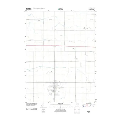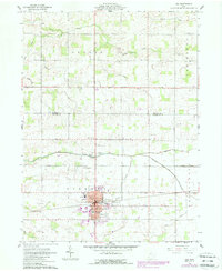
1961 Map of Ada
USGS Topo · Published 1988About this map
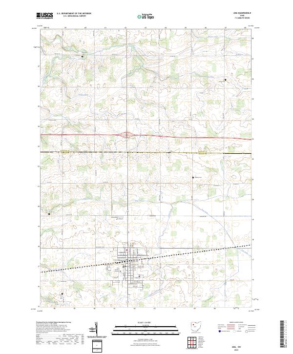
The campus of Ohio Northern University anchors the southern portion of this landscape, marking the expansion of Ada during the mid-to-late twentieth century. This survey, updated with purple revisions, reflects the changing footprint of the village as it grew into the surrounding Liberty township. The rural sections of the map are defined by an extensive drainage system, including the Cummins Ditch, Spoil Bank Ditch, and Fitzhugh Ditch, which support the agricultural productivity of the flat terrain. Evidence of the area's early settlement is preserved in scattered landmarks like Thompson Cem, Liberty Chapel, and the Jerusalem Ch to the north. Transportation and local industry are visible through the proximity of the Ada Airport and several localized quarries, showing a community balancing its academic core with deep roots in farming and extraction.
Find a feature on this map
41 named features on this map. Tap any name to fly to it.
Don’t see what you’re looking for? This feature index may not catch every label — zoom into the map to look around manually.
Map Details
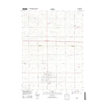
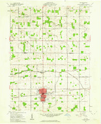
Editions of this 1961 Ada Map
2 editions found
Historical Maps of Ada Through Time
6 maps found