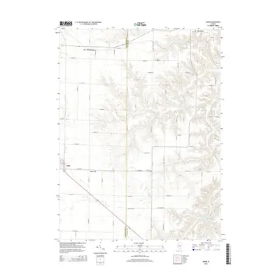
2015 Map of Adair
USGS Topo · Published 2015About this map
Adair and Marietta anchor the western and northeastern corners of this agricultural landscape along the McDonough Co Fulton Co boundary. The terrain is defined by a dense network of watercourses, including Camp Cr and Badger Cr, which carve through the till plains of western Illinois. Smaller named locales like New Philadelphia and the uniquely named Shoo Fly punctuate the grid of rural roads, representing the persistent settlement patterns of the region. For genealogists, the map is particularly useful for identifying the exact locations of rural burial grounds, such as Barker Cem, Temple Cem, and Point Pleasant Cem, which are scattered throughout the township. The drainage patterns of Francis Creek and Humphreys Br further illustrate the topographical challenges and natural boundaries that have influenced local land use and farm placement for generations.
Find a feature on this map
60 named features on this map. Tap any name to fly to it.
Don’t see what you’re looking for? This feature index may not catch every label — zoom into the map to look around manually.
Map Details
Editions of this 2015 Adair Map
This is the sole edition of this map. No revisions or reprints were ever made.
Other maps of this area

1912 · Macomb
USGS Topo · 1:62,500

1914 · Macomb
USGS Topo · 1:62,500

1915 · Avon
USGS Topo · 1:62,500

1916 · Good Hope
USGS Topo · 1:62,500

1918 · Vermont
USGS Topo · 1:62,500

1918 · Good Hope
USGS Topo · 1:62,500

1921 · Vermont
USGS Topo · 1:62,500

1944 · Avon
USGS Topo · 1:62,500

1947 · Vermont
USGS Topo · 1:24,000

1947 · Adair
USGS Topo · 1:24,000