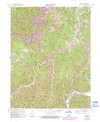
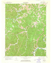
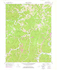
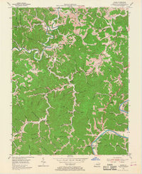
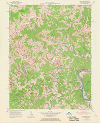
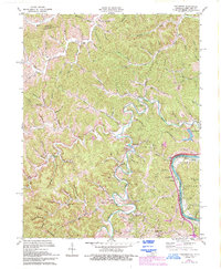
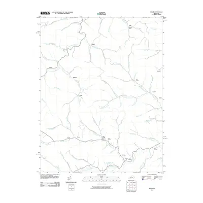
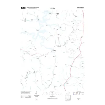
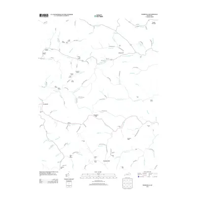
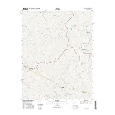
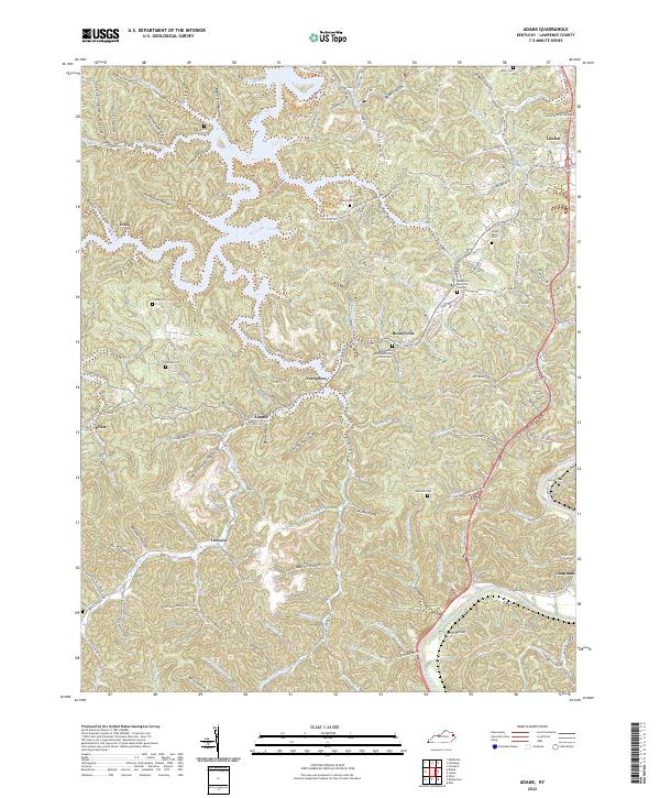
1971 Map of Adams
USGS Topo · Published 1993About this map
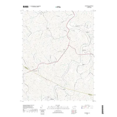
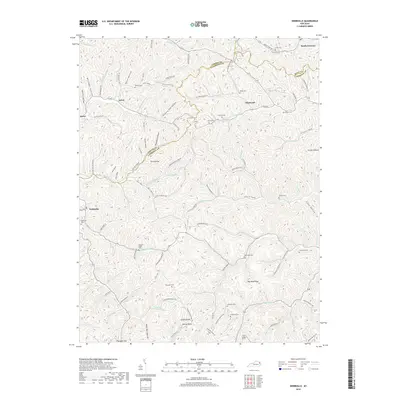
Blaine Creek and the Levisa Fork anchor this 1970s topographic record of Lawrence County, Kentucky, detailing a landscape defined by its deep hollows and narrow ridges. Small communities like Adams, Evergreen, and Busseyville are established along the valley floors, where the rural economy is clearly visible through numerous Gas Wells and Oil Wells peppered across the terrain.
Find a feature on this map
64 named features on this map. Tap any name to fly to it.
Don’t see what you’re looking for? This feature index may not catch every label — zoom into the map to look around manually.
Map Details
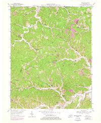
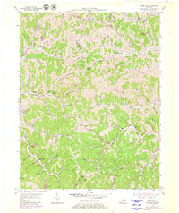
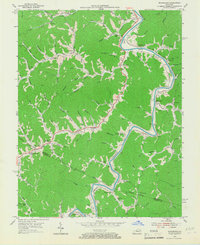
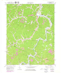
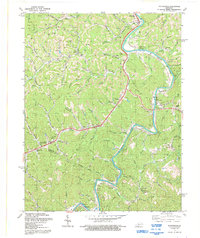
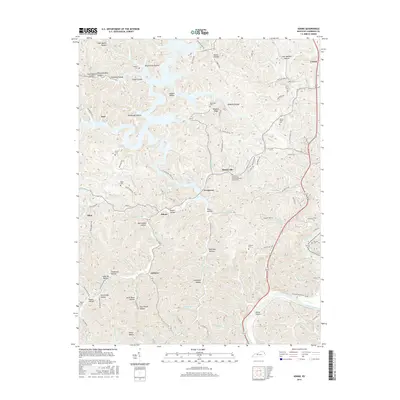
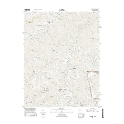
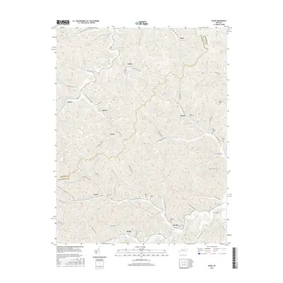
Editions of this 1971 Adams Map
3 editions found
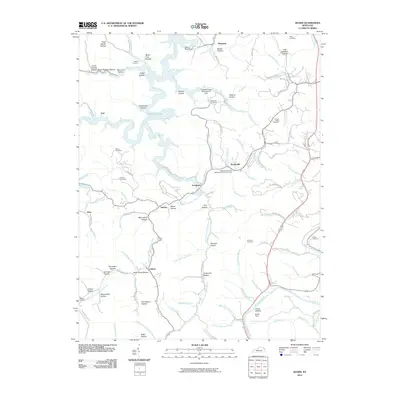
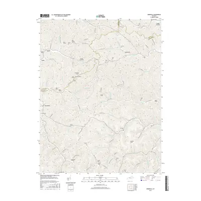
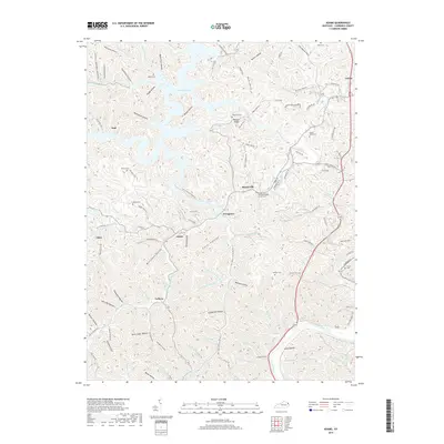
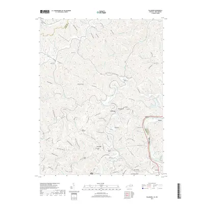
Historical Maps of Louisa Through Time
34 maps found
1953 Adams
Lawrence County, KY
1953 Fallsburg
Lawrence County, KY
1953 Mazie
Lawrence County, KY
1953 Webbville
Lawrence County, KY
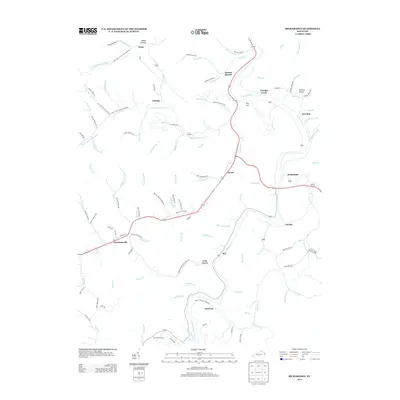
1954 Richardson
Lawrence County, KY
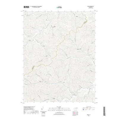
1971 Adams
Lawrence County, KY
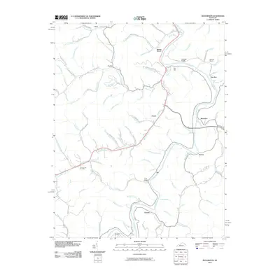
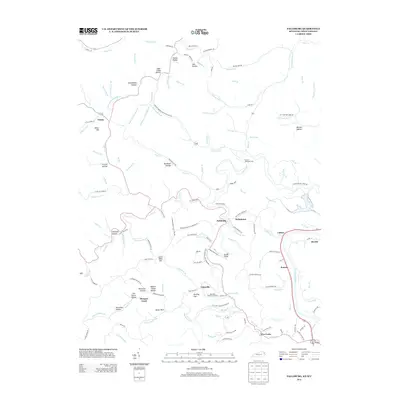
1971 Fallsburg
Lawrence County, KY
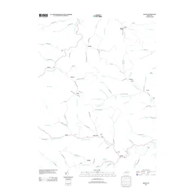
1971 Richardson
Lawrence County, KY
1992 Richardson
Lawrence County, KY
2010 Adams
Lawrence County, KY
2010 Mazie
Lawrence County, KY
2010 Richardson
Lawrence County, KY
2010 Webbville
Lawrence County, KY
2011 Fallsburg
Lawrence County, KY
2013 Adams
Lawrence County, KY
2013 Fallsburg
Lawrence County, KY
2013 Mazie
Lawrence County, KY
2013 Richardson
Lawrence County, KY
2013 Webbville
Lawrence County, KY
2016 Adams
Lawrence County, KY
2016 Fallsburg
Lawrence County, KY
2016 Mazie
Lawrence County, KY
2016 Richardson
Lawrence County, KY
2016 Webbville
Lawrence County, KY
2019 Adams
Lawrence County, KY
2019 Fallsburg
Lawrence County, KY
2019 Mazie
Lawrence County, KY
2019 Richardson
Lawrence County, KY
2019 Webbville
Lawrence County, KY
2022 Adams
Lawrence County, KY
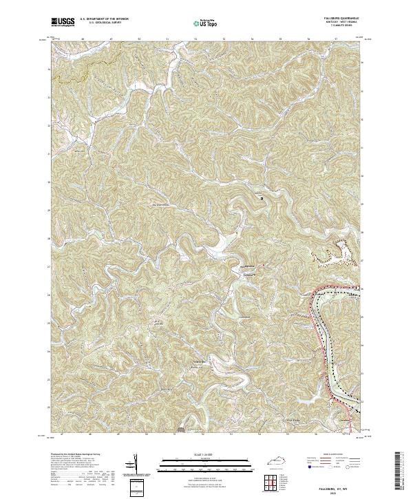
2022 Fallsburg
Lawrence County, KY
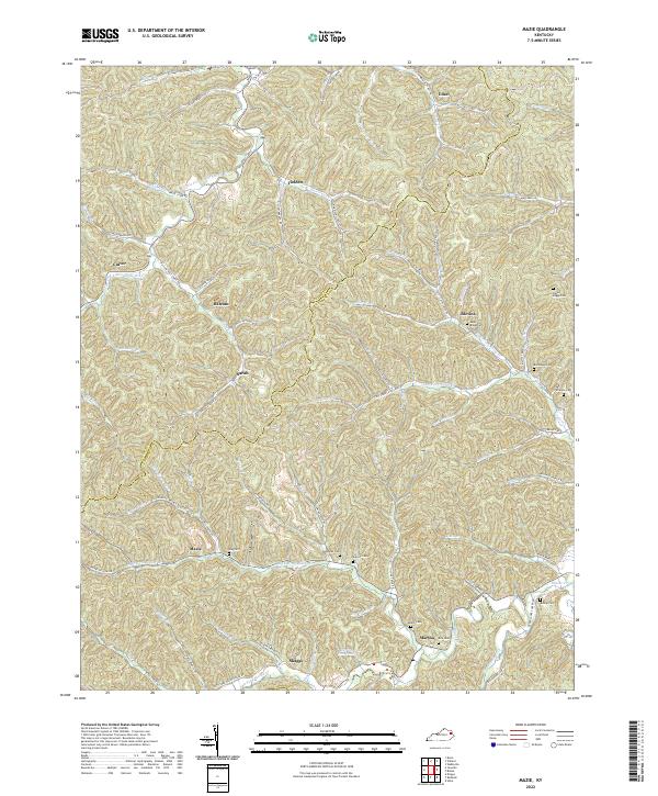
2022 Mazie
Lawrence County, KY
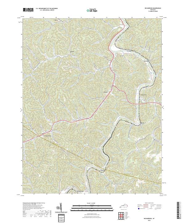
2022 Richardson
Lawrence County, KY
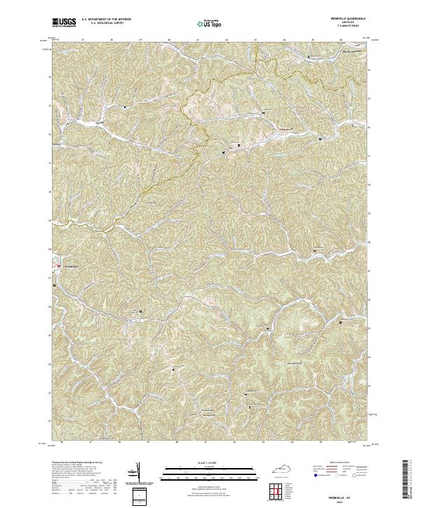
2022 Webbville
Lawrence County, KY