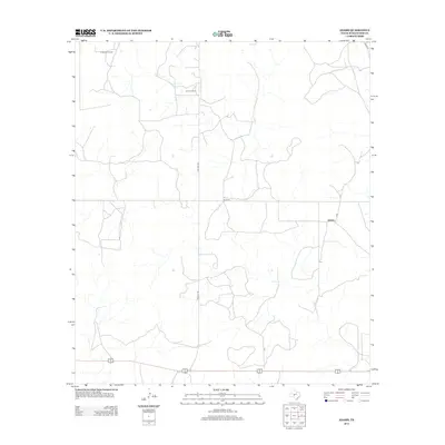
2012 Map of Adams
USGS Topo · Published 2012About this map
The settlement of Adams sits along a network of rural roads in this high-plains region of Schleicher County. Economic activity is defined by energy extraction, evidenced by the presence of the O'Harrow Oil Field in the northwest and the Otto Oil Field further south. The landscape is interconnected by distinctively named local routes such as Toe Nail Trl and Rudd Rd, which facilitate transport across the drainage-crossed terrain. A notable feature of this map is the sparse, distributed nature of its infrastructure, typical of the central Texas ranching and oil country where wide-open spaces are punctuated by small clusters of development and utility roads.
Find a feature on this map
8 named features on this map. Tap any name to fly to it.
Don’t see what you’re looking for? This feature index may not catch every label — zoom into the map to look around manually.
Map Details
Editions of this 2012 Adams Map
This is the sole edition of this map. No revisions or reprints were ever made.
Other maps of this area

1892 · San Angelo
USGS Topo · 1:125,000

1893 · Fort McKavett
USGS Topo · 1:125,000

1954 · Sonora
USGS Topo · 1:250,000

1954 · San Angelo
USGS Topo · 1:250,000

1958 · Sonora
USGS Topo · 1:250,000

1958 · San Angelo
USGS Topo · 1:250,000

1963 · Adams
USGS Topo · 1:24,000

1963 · Adams NW
USGS Topo · 1:24,000

1963 · Adams SE
USGS Topo · 1:24,000

1963 · Adams SW
USGS Topo · 1:24,000