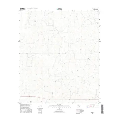
2016 Map of Adams
USGS Topo · Published 2016About this map
Adams stands as the primary named settlement in this pocket of the Edwards Plateau, where the land is defined by long, winding drainage features and a sparse network of county roads. The landscape in the northern portion of the quadrangle is marked by Poor Hollow and its eastern counterpart, East Poor Hollow, which carve out the subtle elevation changes characteristic of this region in Schleicher County.
Find a feature on this map
8 named features on this map. Tap any name to fly to it.
Don’t see what you’re looking for? This feature index may not catch every label — zoom into the map to look around manually.
Map Details
Editions of this 2016 Adams Map
This is the sole edition of this map. No revisions or reprints were ever made.
Other maps of this area

1892 · San Angelo
USGS Topo · 1:125,000

1893 · Fort McKavett
USGS Topo · 1:125,000

1954 · Sonora
USGS Topo · 1:250,000

1954 · San Angelo
USGS Topo · 1:250,000

1958 · Sonora
USGS Topo · 1:250,000

1958 · San Angelo
USGS Topo · 1:250,000

1963 · Adams
USGS Topo · 1:24,000

1963 · Adams NW
USGS Topo · 1:24,000

1963 · Adams SE
USGS Topo · 1:24,000

1963 · Adams SW
USGS Topo · 1:24,000