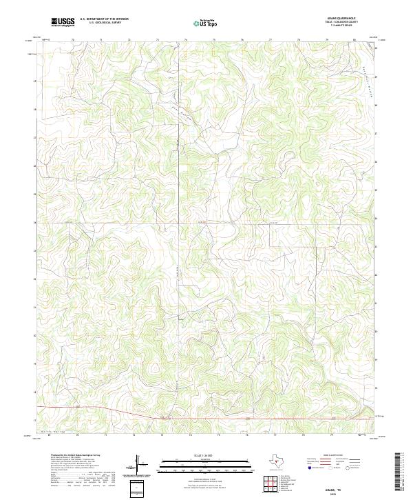
2022 Map of Adams
USGS Topo · Published 2022About this map
Toe Nail Trl and Ranch Rd 2084 anchor the transport network of this Schleicher County landscape, reflecting the modern agricultural and ranching infrastructure of the Edwards Plateau. The terrain is defined by dramatic erosional features like Poor Hollow and East Poor Hollow in the north, while North Valley marks the southern reach of the sheet. These names are characteristic of the utilitarian labeling common in Texas rangeland, where drainage patterns and hollows dictate road placement and property boundaries. The network of secondary routes, including Co Rd 350 and Rudd Rd, provides a clear view of how rural access has been maintained across these expansive private landholdings into the 2020s.
Find a feature on this map
7 named features on this map. Tap any name to fly to it.
Don’t see what you’re looking for? This feature index may not catch every label — zoom into the map to look around manually.
Map Details
Editions of this 2022 Adams Map
This is the sole edition of this map. No revisions or reprints were ever made.
Other maps of this area

1892 · San Angelo
USGS Topo · 1:125,000

1893 · Fort McKavett
USGS Topo · 1:125,000

1954 · Sonora
USGS Topo · 1:250,000

1954 · San Angelo
USGS Topo · 1:250,000

1958 · Sonora
USGS Topo · 1:250,000

1958 · San Angelo
USGS Topo · 1:250,000

1963 · Adams
USGS Topo · 1:24,000

1963 · Adams NW
USGS Topo · 1:24,000

1963 · Adams SE
USGS Topo · 1:24,000

1963 · Adams SW
USGS Topo · 1:24,000