
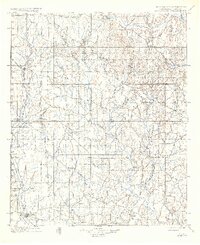
1901 Map of Addington
USGS Topo · Published 1901About this map
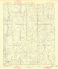
The Chisholm Trail cuts through the center of this landscape, marking the historic path of cattle drives moving north through the Indian Territory (Oklahoma) Boundary Line. This era represents a significant transition as the Chicago Rock Island and Pacific railroad parallels the old trail, establishing rail-based commerce through towns like Duncan and Comanche. Near Addington, the presence of Stock Yards and Monument Hill highlights the region's concentration on livestock and surveying milestones. The terrain is defined by a dense network of drainages including Wildhorse Creek, Mud Creek, and Beaver Creek, which flow south toward the Red River. Small settlements such as Woolsey, Loco, and Cornish serve as early focal points for local commerce and post offices in the Chickasaw Nation, just years before Oklahoma statehood.
Find a feature on this map
108 named features on this map. Tap any name to fly to it.
Don’t see what you’re looking for? This feature index may not catch every label — zoom into the map to look around manually.
Map Details
Editions of this 1901 Addington Map
6 editions found
Other maps of this area

1898 · Pauls Valley
USGS Topo · 1:125,000

1901 · Ardmore
USGS Topo · 1:125,000

1902 · Gainesville
USGS Topo · 1:125,000

1902 · Pauls Valley
USGS Topo · 1:125,000

1902 · Rush Springs
USGS Topo · 1:125,000

1905 · Montague
USGS Topo · 1:125,000

1918 · Ardmore
USGS Topo · 1:125,000

1943 · Gainesville
USGS Topo · 1:125,000

1949 · Nellie
USGS Topo · 1:62,500

1950 · Marlow
USGS Topo · 1:62,500