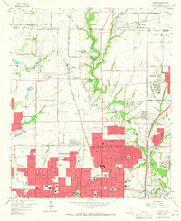
1959 Map of Addison
USGS Topo · Published 1960About this map
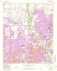
The northern suburbs of Dallas are in a state of rapid post-war transition in the late 1950s, as urban expansion begins to press against established farming communities. While the southern portion of the map shows dense residential developments and significant institutional growth—evidenced by Ursuline Academy, Jefferson High Sch, and Hamilton Park Sch—the northern reaches remain largely open. Small agricultural centers like Addison and Renner maintain their rural character along the St Louis Southwestern RR.
Find a feature on this map
84 named features on this map. Tap any name to fly to it.
Don’t see what you’re looking for? This feature index may not catch every label — zoom into the map to look around manually.
Map Details
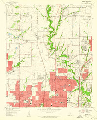
Editions of this 1959 Addison Map
6 editions found
Other maps of this area

1891 · Dallas
USGS Topo · 1:125,000

1893 · Dallas
USGS Topo · 1:125,000

1925 · Mc Kinney 3-c
USGS Topo · 1:48,000

1925 · Dallas 2-b
USGS Topo · 1:48,000

1929 · Frisco
USGS Topo · 1:62,500

1929 · McKinney
USGS Topo · 1:62,500

1931 · Carrollton
USGS Topo · 1:62,500

1954 · Dallas
USGS Topo · 1:250,000

1954 · Sherman
USGS Topo · 1:250,000

1957 · White Rock Lake
USGS Topo · 1:24,000