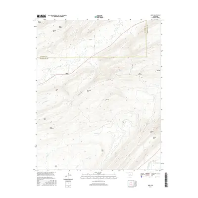
2016 Map of Adel
USGS Topo · Published 2016About this map
The settlement of Adel serves as the focal point for this landscape in southeastern Oklahoma, situated near the intersection of Pittsburg and Pushmataha counties. This area is characterized by a series of parallel ridges and valleys, where numerous small waterways like Jackfork Cr and Clear Cr navigate the complex topography. To the south, the Kiamichi River marks the lower reaches of the terrain, drawing from a network of tributaries including Wildcat Cr and Hackett Cr. Significant landmarks such as Big Caney Mtn and Blue Mtn dominate the central portion of the map, while Johns Valley and Burris Valley provide lower elevation corridors through the high ground. The local road network, including Rock Town Rd and Adel Rd, follows these natural valley contours to connect the disparate ridges.
Find a feature on this map
36 named features on this map. Tap any name to fly to it.
Don’t see what you’re looking for? This feature index may not catch every label — zoom into the map to look around manually.
Map Details
Editions of this 2016 Adel Map
This is the sole edition of this map. No revisions or reprints were ever made.
Other maps of this area

1898 · McAlester
USGS Topo · 1:125,000

1901 · Antlers
USGS Topo · 1:125,000

1901 · Tuskahoma
USGS Topo · 1:125,000

1901 · Alikchi
USGS Topo · 1:125,000

1908 · Tuskahoma
USGS Topo · 1:125,000

1909 · Mc Alester
USGS Topo · 1:125,000

1909 · Tuskahoma
USGS Topo · 1:125,000

1912 · Antlers
USGS Topo · 1:125,000

1925 · Antlers
USGS Topo · 1:125,000

1950 · Mcalester
USGS Topo · 1:250,000