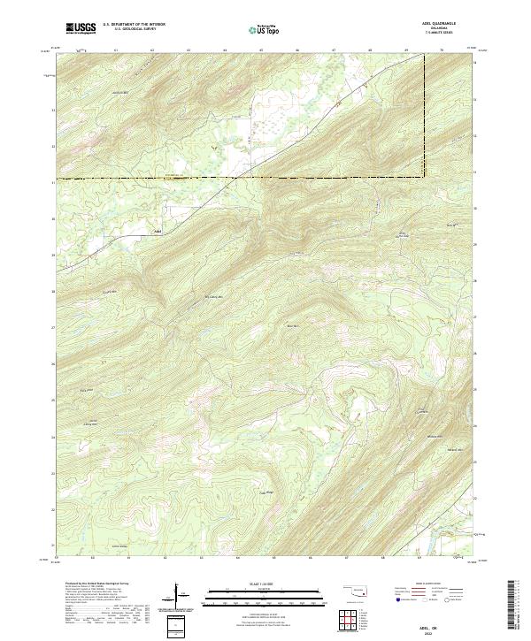
2022 Map of Adel
USGS Topo · Published 2022About this map
Adel sits at the intersection of Adel Rd and Rock Town Rd, serving as a central point in this landscape of the Ouachita Mountains during the early 2020s. The topography is defined by significant ridges and gaps, including the prominent Turkey Mtn and Big Caney Mtn, which frame the drainages of Jackfork Cr and Clear Cr. The map reveals a rugged geography where the Pittsburg and Pushmataha county lines meet amidst the high elevations of Jackfork Mtn.
Find a feature on this map
41 named features on this map. Tap any name to fly to it.
Don’t see what you’re looking for? This feature index may not catch every label — zoom into the map to look around manually.
Map Details
Editions of this 2022 Adel Map
This is the sole edition of this map. No revisions or reprints were ever made.
Other maps of this area

1898 · McAlester
USGS Topo · 1:125,000

1901 · Antlers
USGS Topo · 1:125,000

1901 · Tuskahoma
USGS Topo · 1:125,000

1901 · Alikchi
USGS Topo · 1:125,000

1908 · Tuskahoma
USGS Topo · 1:125,000

1909 · Mc Alester
USGS Topo · 1:125,000

1909 · Tuskahoma
USGS Topo · 1:125,000

1912 · Antlers
USGS Topo · 1:125,000

1925 · Antlers
USGS Topo · 1:125,000

1950 · Mcalester
USGS Topo · 1:250,000