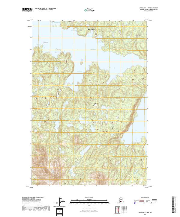
2021 Map of Afognak B-2 NW
USGS Topo · Published 2021About this map
Port William sits along the northern edge of this coastal survey, overlooking the complex waters of Shuyak Harbor and Port Lawrence. This map illustrates the transition from the open waters of the Gulf of Alaska to the intricate, sheltered inlets of the northern Kodiak Archipelago. The landscape is defined by its deep maritime indentations, including Redfox Bay, Bluefox Bay, and the expansive Big Waterfall Bay to the southeast. Much of the northern terrain is occupied by Shuyak Island, separated from the mainland mass by the narrow Shuyak Strait. Navigational landmarks like Lighthouse Point and the high elevation of Red Peak serve as primary points of orientation in a region where the shoreline is the dominant geographic feature, reflecting the area's isolation and reliance on seafaring for transport and commerce.
Find a feature on this map
17 named features on this map. Tap any name to fly to it.
Don’t see what you’re looking for? This feature index may not catch every label — zoom into the map to look around manually.
Map Details
Editions of this 2021 Afognak B-2 NW Map
This is the sole edition of this map. No revisions or reprints were ever made.
Other maps of this area

1952 · Afognak
USGS Topo · 1:250,000
1952 · Afognak C-2 and C-3
USGS Topo · 1:63,360

1952 · Afognak B-2
USGS Topo · 1:63,360

1954 · Afognak B-3
USGS Topo · 1:63,360
1954 · Afognak C-2 and C-3
USGS Topo · 1:63,360

1954 · Afognak B-2
USGS Topo · 1:63,360
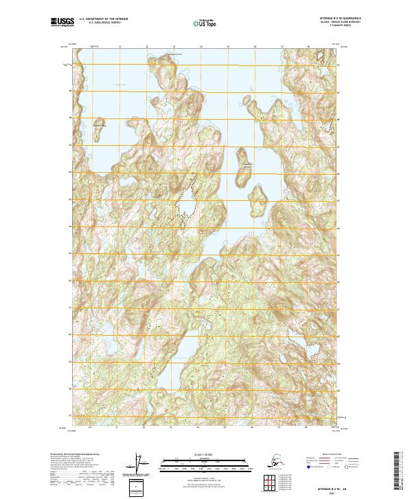
2021 · Afognak B-2 SE
USGS Topo · 1:25,000
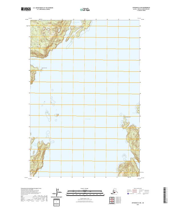
2021 · Afognak B-2 NE
USGS Topo · 1:25,000
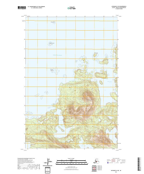
2021 · Afognak B-3 NE
USGS Topo · 1:25,000
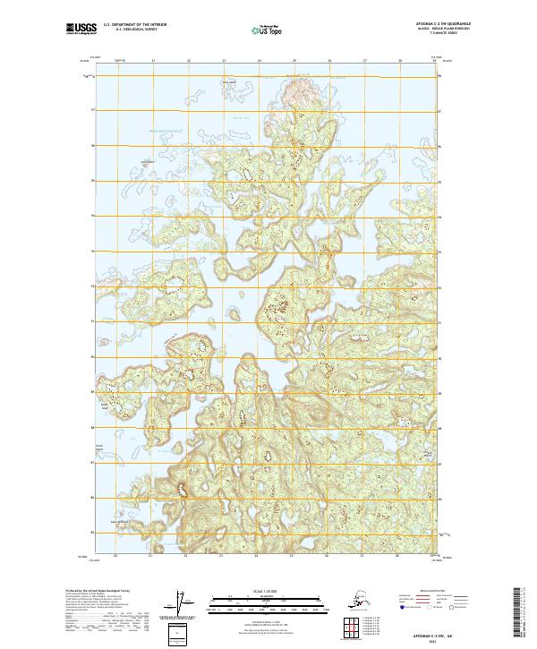
2021 · Afognak C-2 SW
USGS Topo · 1:25,000