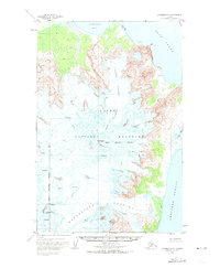
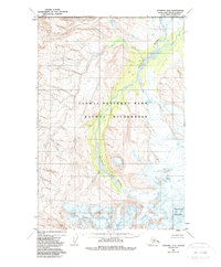
1951 Map of Afognak D-5
USGS Topo · Published 1974About this map
Katmai National Monument dominates the western portion of this topographic survey, showcasing a landscape defined by glacial activity and volcanic peaks. The massive ice fields of Spotted Glacier and Fourpeaked Glacier are recorded here in significant detail, complete with mapped crevasses that indicate the dynamic movement of the ice during the early 1950s. Centered on Mt Douglas, the map illustrates the dramatic transition from high mountain glaciers down to the coastline of the Kenai Peninsula Borough.
Find a feature on this map
11 named features on this map. Tap any name to fly to it.
Don’t see what you’re looking for? This feature index may not catch every label — zoom into the map to look around manually.
Map Details
Editions of this 1951 Afognak D-5 Map
3 editions found
Other maps of this area

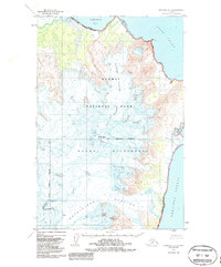
1951 · Afognak C-6
USGS Topo · 1:63,360
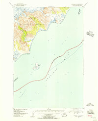
1951 · Afognak C-5
USGS Topo · 1:63,360
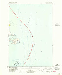
1951 · Afognak D-4
USGS Topo · 1:63,360

1951 · Iliamna A-1 and A-2
USGS Topo · 1:63,360

1951 · Afognak D-5
USGS Topo · 1:63,360

1951 · Afognak D-6
USGS Topo · 1:63,360

1952 · Iliamna
USGS Topo · 1:250,000

1952 · Afognak
USGS Topo · 1:250,000

1957 · Iliamna
USGS Topo · 1:250,000
1983 · Afognak D-6
USGS Topo · 1:63,360