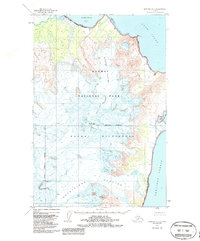
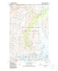
1951 Map of Afognak D-5
USGS Topo · Published 1987About this map
Katmai National Park and the Katmai Wilderness dominate this coastal Alaskan landscape, situated within the Kenai Peninsula Borough. The topography is defined by massive glacial systems, notably the sprawling Spotted Glacier and the Fourpeaked Glacier, which flow toward the eastern coastline. Rising above these ice fields is the prominent peak of Mt Douglas, a sentinel over the surrounding wilderness. The coastline itself is a complex interface of water and ice, where the Kamishak Bay meets a broad Tidal Flat to the north, and the Shelikof Strait opens to the south. This 1951 survey, with minor 1987 revisions, documents a region where the land was largely unsurveyed and unmarked at the time of mapping, highlighting the sheer isolation and natural preservation of the area before modern administrative boundaries like the Park and Wilderness AMNWR Boundary were fully delineated.
Find a feature on this map
12 named features on this map. Tap any name to fly to it.
Don’t see what you’re looking for? This feature index may not catch every label — zoom into the map to look around manually.
Map Details
Editions of this 1951 Afognak D-5 Map
3 editions found
Other maps of this area

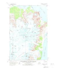
1951 · Afognak C-6
USGS Topo · 1:63,360
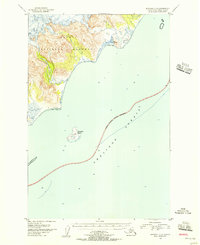
1951 · Afognak C-5
USGS Topo · 1:63,360
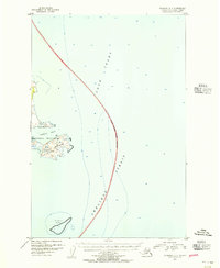
1951 · Afognak D-4
USGS Topo · 1:63,360

1951 · Iliamna A-1 and A-2
USGS Topo · 1:63,360

1951 · Afognak D-5
USGS Topo · 1:63,360

1951 · Afognak D-6
USGS Topo · 1:63,360

1952 · Iliamna
USGS Topo · 1:250,000

1952 · Afognak
USGS Topo · 1:250,000

1957 · Iliamna
USGS Topo · 1:250,000
1983 · Afognak D-6
USGS Topo · 1:63,360