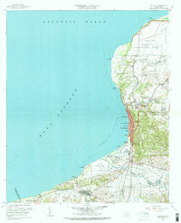
1960 Map of Aguadilla
USGS Topo · Published 1983About this map
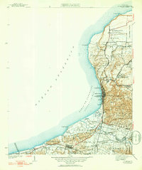
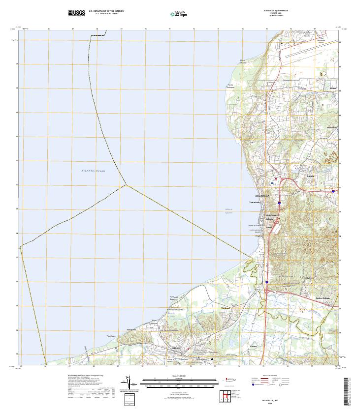
The northwestern coast of Puerto Rico is dominated by the sprawling infrastructure of the Ramey Air Force Base and the port city of Aguadilla in this 1960 revision. The map details the transition from military installations and the Punta Borinquen lighthouse area to the dense urban Barrios of Tamarindo and Santa Bárbara. Transportation history is evident through the marked Ferrocarril del Oeste and the Antigua Via del Ferrocarril, tracing the path of former rail lines through the sugar-growing lowlands near the Río Culebrinas. Inland, the terrain rises sharply into the Cordillera Jaicoa, where rural settlements like Caimital Alto and Camaceyes are situated among complex topography. Cultural landmarks such as the Colegio San Carlos and the Aguada Parque de Colón reflect the social and civic center of the region during the mid-twentieth century.
Find a feature on this map
80 named features on this map. Tap any name to fly to it.
Don’t see what you’re looking for? This feature index may not catch every label — zoom into the map to look around manually.
Map Details
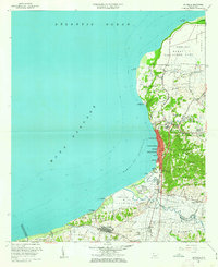
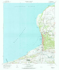
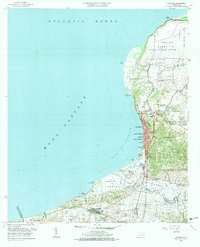
Editions of this 1960 Aguadilla Map
5 editions found
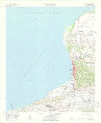
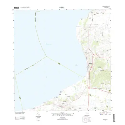
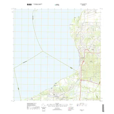
Historical Maps of Aguadilla Through Time
6 maps found

Featured Locations
- Las Golondrinas, Aguadilla
- Cerro Juan Vega, Aguadilla
- Aguadilla, Aguadilla
- Sector Los Cocos, Moca
- Aguada, Aguada