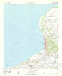
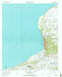
1960 Map of Aguadilla
USGS Topo · Published 1962About this map
Aguadilla and the northwestern coastline of Puerto Rico are defined by the intersection of military infrastructure and historic settlements during the mid-twentieth century. The vast grounds of Ramey Air Force Base occupy the plateau near Punta Borinquen, while the rail lines of the Ferrocarril del Oeste follow the coastline, connecting the town centers of Aguadilla and Aguada. This 1960 revision provides a detailed view of the barrios and residential clusters such as Tamarindo, Santa Barbara, and Corrales as they expanded inland toward Cerro Vigia. Along the southern reaches, the Rio Culebrinas meanders through the alluvial plains of Guanabano, near the Coloso sugar mill area. Local institutional life is marked by the Colegio San Carlos and Escuela Superior, reflecting the civic growth of the region.
Find a feature on this map
82 named features on this map. Tap any name to fly to it.
Don’t see what you’re looking for? This feature index may not catch every label — zoom into the map to look around manually.
Map Details
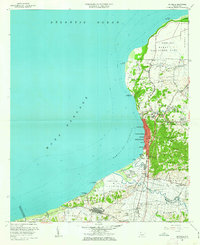
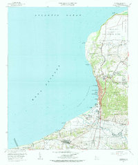
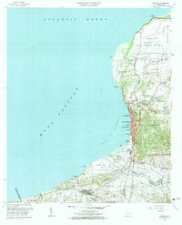
Editions of this 1960 Aguadilla Map
5 editions found
Other maps of this area

1937 · Aguadilla
USGS Topo · 1:20,000

1937 · Moca
USGS Topo · 1:20,000

1938 · Alto Sano
USGS Topo · 1:20,000

1941 · Moca
USGS Topo · 1:30,000

1941 · Rincon
USGS Topo · 1:30,000

1941 · Rincon
USGS Topo · 1:30,000

1941 · Isabela
USGS Topo · 1:30,000

1942 · Moca
USGS Topo · 1:30,000

1942 · Central La Plata
USGS Topo · 1:30,000

1942 · Aguadilla
USGS Topo · 1:30,000