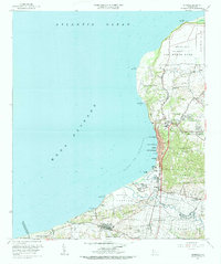
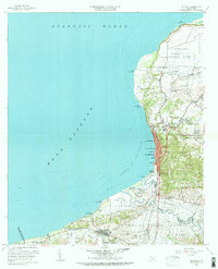
1960 Map of Aguadilla
USGS Topo · Published 1983About this map
The coastal landscape of northwest Puerto Rico is defined here by the massive footprint of Ramey Air Force Base, which occupies the expansive plateau of Maleza Baja and Borinquen. Along the shoreline of the Bahia de Aguadilla, the dense urban center of Aguadilla stretches between the sea and the steep slopes of the Cordillera de Jaicoa. Evidence of the island’s industrial transit history is visible in the Antigua Via del Ferrocarril, an old railroad right-of-way that skirts the coast through Tamarindo and Santa Barbara. Further south, the map captures the fertile valley floor where the Rio Culebrinas meanders toward the Mona Passage. This transition from the military installation at Punta Borinquen to the agricultural and residential districts of Aguada and Coloso illustrates the varied mid-century land use of the region, from the limestone quarries of Canteras Aguadilla to the established neighborhoods of Victoria and Higuey.
Find a feature on this map
77 named features on this map. Tap any name to fly to it.
Don’t see what you’re looking for? This feature index may not catch every label — zoom into the map to look around manually.
Map Details
Editions of this 1960 Aguadilla Map
5 editions found
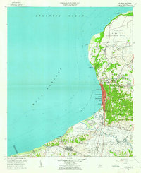
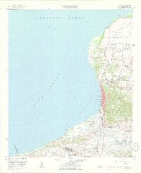
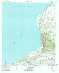
Other maps of this area

1937 · Aguadilla
USGS Topo · 1:20,000

1937 · Moca
USGS Topo · 1:20,000

1938 · Alto Sano
USGS Topo · 1:20,000

1941 · Moca
USGS Topo · 1:30,000

1941 · Rincon
USGS Topo · 1:30,000

1941 · Rincon
USGS Topo · 1:30,000

1941 · Isabela
USGS Topo · 1:30,000

1942 · Moca
USGS Topo · 1:30,000

1942 · Central La Plata
USGS Topo · 1:30,000

1942 · Aguadilla
USGS Topo · 1:30,000