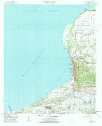
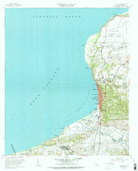
1960 Map of Aguadilla
USGS Topo · Published 1983About this map
The coastal interface of Northwest Puerto Rico is defined by the significant military presence at Ramey Air Force Base and the bustling urban center of Aguadilla. This 1960 revision provides a detailed look at the infrastructure supporting the region, including the Ferrocarril del Antigua and several radio facilities like the Facilidad de Radio (WAPA-TV). The settlement pattern extends from the dense barrios of Tamarindo and Iglesia south to Aguada, where the Aguada Parque de Colón marks the historic waterfront.
Find a feature on this map
83 named features on this map. Tap any name to fly to it.
Don’t see what you’re looking for? This feature index may not catch every label — zoom into the map to look around manually.
Map Details
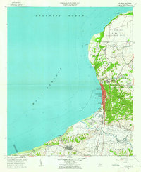
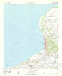
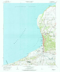
Editions of this 1960 Aguadilla Map
5 editions found
Other maps of this area

1937 · Aguadilla
USGS Topo · 1:20,000

1937 · Moca
USGS Topo · 1:20,000

1938 · Alto Sano
USGS Topo · 1:20,000

1941 · Moca
USGS Topo · 1:30,000

1941 · Rincon
USGS Topo · 1:30,000

1941 · Rincon
USGS Topo · 1:30,000

1941 · Isabela
USGS Topo · 1:30,000

1942 · Moca
USGS Topo · 1:30,000

1942 · Central La Plata
USGS Topo · 1:30,000

1942 · Aguadilla
USGS Topo · 1:30,000