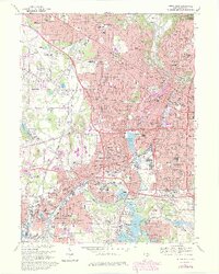
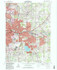
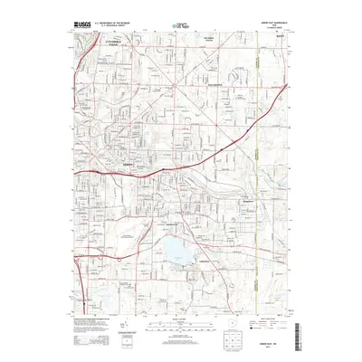
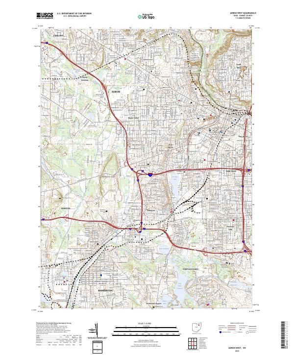
1967 Map of Akron West
USGS Topo · Published 1970About this map
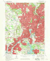
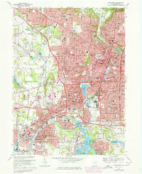
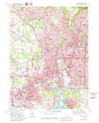
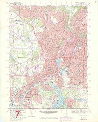
The industrial and residential expansion of Akron and Barberton is meticulously documented in this late 1960s survey, showing a landscape shaped by both water and heavy transit. The canal-era legacy is visible through a complex hydrologic network including Summit Lake, Lake Nesmith, and the Tuscarawas River Diversion Dam, while the modern era is marked by the sprawling routes of the Ohio Turnpike and several major rail corridors like the Erie-Lackawanna Penn Central.
Find a feature on this map
108 named features on this map. Tap any name to fly to it.
Don’t see what you’re looking for? This feature index may not catch every label — zoom into the map to look around manually.
Map Details
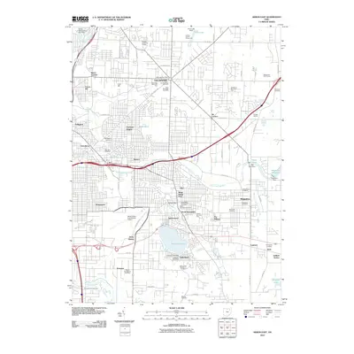
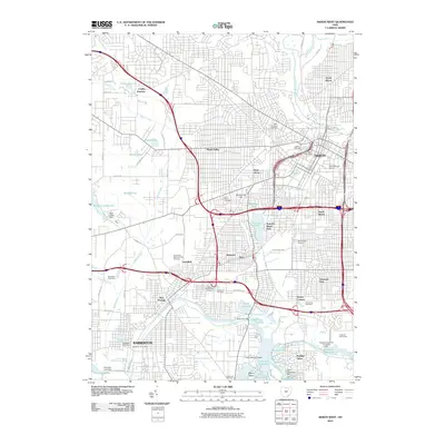
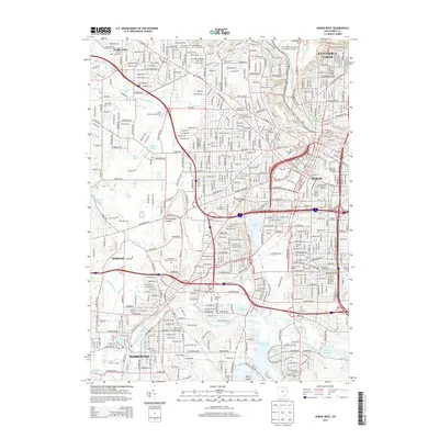
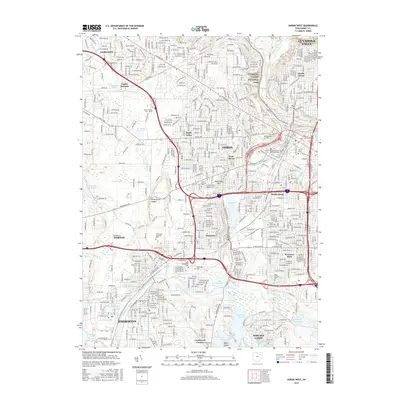
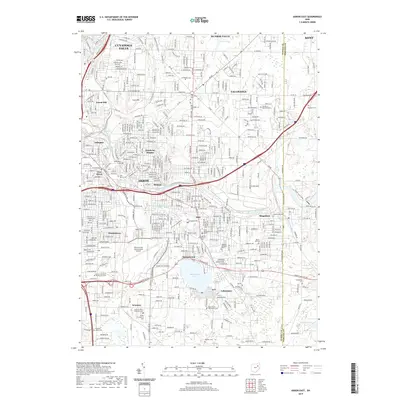
Editions of this 1967 Akron West Map
6 editions found
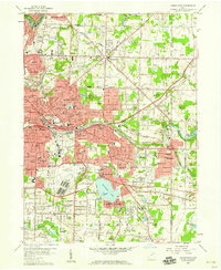
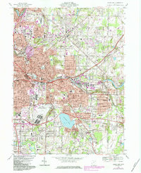
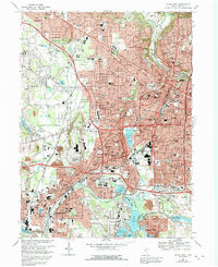
Historical Maps of Akron Through Time
16 maps found
1958 Akron East
Summit County, OH

1958 Akron West
Summit County, OH
1967 Akron East
Summit County, OH
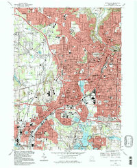
1967 Akron West
Summit County, OH
1994 Akron East
Summit County, OH
1994 Akron West
Summit County, OH
2010 Akron East
Summit County, OH
2010 Akron West
Summit County, OH
2013 Akron East
Summit County, OH
2013 Akron West
Summit County, OH

2016 Akron East
Summit County, OH
2016 Akron West
Summit County, OH
2019 Akron East
Summit County, OH
2019 Akron West
Summit County, OH
2023 Akron East
Summit County, OH
2023 Akron West
Summit County, OH