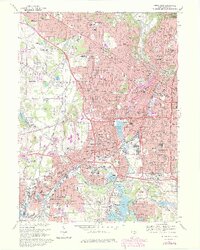
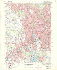
1967 Map of Akron West
USGS Topo · Published 1980About this map
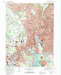
Industrial Akron and neighboring Barberton are shown here during a period of significant urban expansion, characterized by a dense network of Catholic parochial schools and historic cemeteries. The map reveals the intricate water system connecting Summit Lake through the Tuscarawas River and Portage Lakes, a remnant of the region's canal-era origins that transitioned into a recreation and industrial corridor. Neighborhoods like Kenmore and Maple Valley are shown in high detail, interspersed with corporate boundaries and extensive rail infrastructure such as the Akron & Barberton Belt RR. The presence of the University of Akron and specialized facilities like the Childrens Hospital and St Thomas Hospital reflect the city's role as a regional healthcare and educational hub. Suburban growth in the 1960s and 70s is evident in the development of Fairlawn and the residential clusters around Firestone Park, providing a clear view of mid-century Summit County geography.
Find a feature on this map
109 named features on this map. Tap any name to fly to it.
Don’t see what you’re looking for? This feature index may not catch every label — zoom into the map to look around manually.
Map Details
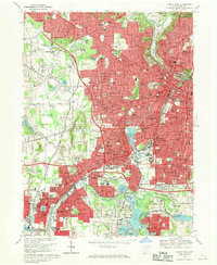
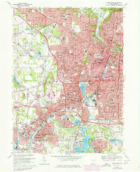
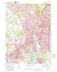
Editions of this 1967 Akron West Map
6 editions found
Other maps of this area

1901 · Massillon
USGS Topo · 1:62,500

1901 · Canton
USGS Topo · 1:62,500

1903 · Massillon
USGS Topo · 1:62,500

1903 · Canton
USGS Topo · 1:62,500

1903 · Akron
USGS Topo · 1:62,500

1905 · Akron
USGS Topo · 1:62,500

1906 · Kent
USGS Topo · 1:62,500

1950 · Cleveland
USGS Topo · 1:250,000

1951 · Canton
USGS Topo · 1:250,000

1953 · Canton
USGS Topo · 1:250,000