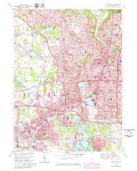
1967 Map of Akron West
USGS Topo · Published 1980About this map
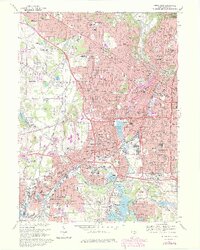
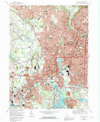
Akron serves as the industrial and urban heart of this 1960s survey, showing a landscape defined by the convergence of the Cuyahoga River and the Tuscarawas River. The map details a period of significant urban expansion, with purple-tinted areas marking growth toward the corporate boundary in Fairlawn and Barberton. Notable for genealogists and local historians are the numerous religious and civic institutions, including St Sebastians Sch, Glendale Cem, and the Akron Hebrew Cem. The industrial legacy is visible through the Baltimore and Ohio RR lines and the heavy concentration of infrastructure surrounding Summit Lake. This area was part of the Connecticut Western Reserve, a fact reflected in the land lines and private subdivisions that shaped the modern street grid. To the south, the Portage Lakes and the Tuscarawas River Diversion Dam highlight the complex water management system that supported the region's development.
Find a feature on this map
139 named features on this map. Tap any name to fly to it.
Don’t see what you’re looking for? This feature index may not catch every label — zoom into the map to look around manually.
Map Details
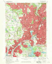
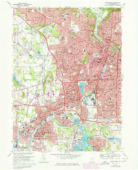
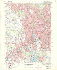
Editions of this 1967 Akron West Map
6 editions found
Other maps of this area

1901 · Massillon
USGS Topo · 1:62,500

1901 · Canton
USGS Topo · 1:62,500

1903 · Massillon
USGS Topo · 1:62,500

1903 · Canton
USGS Topo · 1:62,500

1903 · Akron
USGS Topo · 1:62,500

1905 · Akron
USGS Topo · 1:62,500

1906 · Kent
USGS Topo · 1:62,500

1950 · Cleveland
USGS Topo · 1:250,000

1951 · Canton
USGS Topo · 1:250,000

1953 · Canton
USGS Topo · 1:250,000