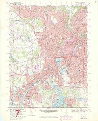
1967 Map of Akron West
USGS Topo · Published 1980About this map
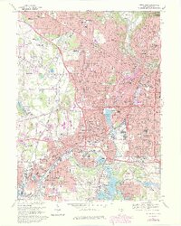
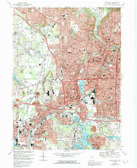
Akron serves as the dense urban core of this 1967 survey, revealing a landscape deeply influenced by its industrial and topographical ties to the Cuyahoga River and the Tuscarawas River. The map captures the city as its suburban neighborhoods like Fairlawn and Maple Valley expand outward, while the industrial heart remains centered near Summit Lake and the rail corridors of Conrail. This era shows a community defined by its institutional strength, with dozens of parochial schools such as St Sebastians Sch and St Anthonys Sch serving local neighborhoods.
Find a feature on this map
142 named features on this map. Tap any name to fly to it.
Don’t see what you’re looking for? This feature index may not catch every label — zoom into the map to look around manually.
Map Details
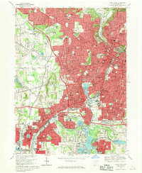
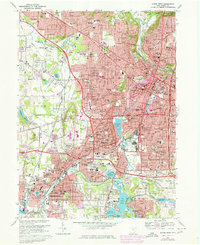
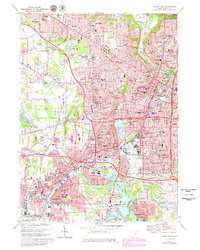
Editions of this 1967 Akron West Map
6 editions found
Other maps of this area

1901 · Massillon
USGS Topo · 1:62,500

1901 · Canton
USGS Topo · 1:62,500

1903 · Massillon
USGS Topo · 1:62,500

1903 · Canton
USGS Topo · 1:62,500

1903 · Akron
USGS Topo · 1:62,500

1905 · Akron
USGS Topo · 1:62,500

1906 · Kent
USGS Topo · 1:62,500

1950 · Cleveland
USGS Topo · 1:250,000

1951 · Canton
USGS Topo · 1:250,000

1953 · Canton
USGS Topo · 1:250,000