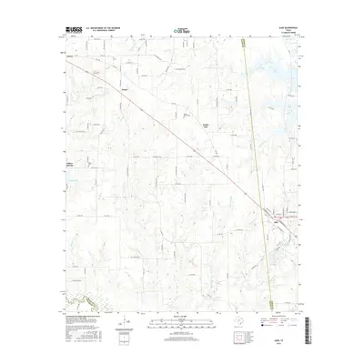
2016 Map of Alba
USGS Topo · Published 2016About this map
Alba and Emory anchor this Northeast Texas landscape, where the rural character of Rains and Wood counties is defined by an intricate network of creeks and small drainages. The Sabine River flows along the southern edge of the survey, a significant waterway that historically shaped the region's development. Local history is etched into the land at sites like the MaGee - McCord Cem and Turner Cem, providing valuable touchpoints for genealogists tracing family roots in the areas surrounding Ginger and Bright Star. The terrain is marked by numerous water bodies including Case Lake and Greenes Lake, reflecting the low-lying, well-watered geography of the Post Oak Savannah. A dense system of country roads, such as RS CO Road 3316 and FM 2795, connects these disparate settlements, illustrating the 21st-century infrastructure laid over traditional agricultural and ranching lands.
Find a feature on this map
109 named features on this map. Tap any name to fly to it.
Don’t see what you’re looking for? This feature index may not catch every label — zoom into the map to look around manually.
Map Details
Editions of this 2016 Alba Map
This is the sole edition of this map. No revisions or reprints were ever made.
Other maps of this area

1956 · Tyler
USGS Topo · 1:250,000

1956 · Emory
USGS Topo · 1:62,500

1958 · Arbala
USGS Topo · 1:24,000

1958 · Alba
USGS Topo · 1:24,000

1959 · Calvary
USGS Topo · 1:24,000

1959 · Golden
USGS Topo · 1:24,000

1959 · Grand Saline
USGS Topo · 1:24,000

1959 · Yantis
USGS Topo · 1:24,000

1959 · Grand Saline
USGS Topo · 1:62,500

1959 · Alba
USGS Topo · 1:62,500