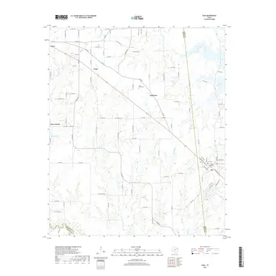
2019 Map of Alba
USGS Topo · Published 2019About this map
The Sabine River forms the southern boundary of this landscape, marking the transition between Rains and Van Zandt counties. This rural corridor in East Texas is anchored by the larger settlements of Emory in the northwest and Alba in the southeast, connected by a network of farm-to-market roads and county routes. The terrain is defined by a dense drainage system of creeks such as Allred Cr, Franks Cr, and Simpkins Cr that feed southward toward the river basin. Smaller communities like Ginger, Bright Star, and Willow Springs punctuate the agricultural landscape, often serving as historic local hubs. For those tracing family histories in the area, the map preserves the locations of the Turner Cem and the MaGee - McCord Cem, along with several small water bodies including Greenes Lake and Woods Lake that characterize the local hydrology near the Rains and Wood County line.
Find a feature on this map
110 named features on this map. Tap any name to fly to it.
Don’t see what you’re looking for? This feature index may not catch every label — zoom into the map to look around manually.
Map Details
Editions of this 2019 Alba Map
This is the sole edition of this map. No revisions or reprints were ever made.
Other maps of this area

1956 · Tyler
USGS Topo · 1:250,000

1956 · Emory
USGS Topo · 1:62,500

1958 · Arbala
USGS Topo · 1:24,000

1958 · Alba
USGS Topo · 1:24,000

1959 · Calvary
USGS Topo · 1:24,000

1959 · Golden
USGS Topo · 1:24,000

1959 · Grand Saline
USGS Topo · 1:24,000

1959 · Yantis
USGS Topo · 1:24,000

1959 · Grand Saline
USGS Topo · 1:62,500

1959 · Alba
USGS Topo · 1:62,500