
1893 Map of Albany
USGS Topo · Published 1893About this map
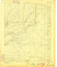
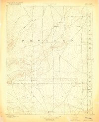
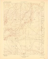
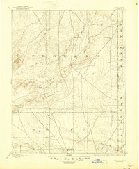
The Santa Fe Trail and Texas Trail cut across this high plains landscape at the border of Colorado and Kansas, marking a period when long-distance overland routes still defined the region's geography. Surveyed in 1890, the map captures a sparsely populated frontier where small early settlements like Albany and Minneapolis were established near critical water sources. The importance of seasonal hydrology is evident in the network of intermittent drainages, including Sand Arroyo and North Butte Creek, which converge in a terrain punctuated by landmarks like East Hill and Two Butte. Local ranching roots are preserved through the naming of Kline Ranche, while the presence of Butte Springs indicates the few reliable points of water that sustained both livestock and travelers along the historic cattle and wagon trails that once dominated this territory.
Find a feature on this map
23 named features on this map. Tap any name to fly to it.
Don’t see what you’re looking for? This feature index may not catch every label — zoom into the map to look around manually.
Map Details
Editions of this 1893 Albany Map
5 editions found
Other maps of this area

1890 · Granada
USGS Topo · 1:125,000

1891 · Albany
USGS Topo · 1:125,000

1891 · Springfield
USGS Topo · 1:125,000

1892 · Lamar
USGS Topo · 1:125,000

1892 · Vilas
USGS Topo · 1:125,000

1892 · Granada
USGS Topo · 1:125,000

1892 · Two Butte
USGS Topo · 1:125,000

1893 · Two Butte
USGS Topo · 1:125,000

1893 · Springfield
USGS Topo · 1:125,000

1894 · Granada
USGS Topo · 1:125,000