
1956 Map of Albany West
USGS Topo · Published 1957About this map
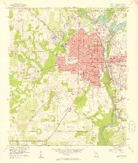
The Flint River defines the eastern boundary of this mid-1950s Georgia landscape, carving a path past Albany and the specialized grounds of Radium Springs. This era captures a bustling municipal center characterized by a dense network of local education and civil infrastructure, including the Monroe High Sch and Carver Park Jr High Sch. To the south, the U S Naval Res Marine Corps Supply Center represents a significant military footprint alongside the Albany Municipal Airport.
Find a feature on this map
62 named features on this map. Tap any name to fly to it.
Don’t see what you’re looking for? This feature index may not catch every label — zoom into the map to look around manually.
Map Details
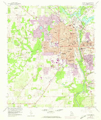
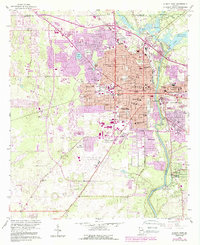
Editions of this 1956 Albany West Map
4 editions found
Other maps of this area

1953 · Dothan
USGS Topo · 1:250,000

1954 · Dothan
USGS Topo · 1:250,000

1955 · Dothan
USGS Topo · 1:250,000

1956 · Albany East
USGS Topo · 1:24,000

1956 · Baconton
USGS Topo · 1:62,500

1956 · Newton
USGS Topo · 1:62,500

1956 · Sasser
USGS Topo · 1:62,500

1956 · Albany
USGS Topo · 1:62,500

1973 · Sasser
USGS Topo · 1:24,000

1973 · Pretoria
USGS Topo · 1:24,000