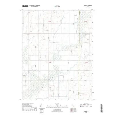
2018 Map of Albion NW
USGS Topo · Published 2018About this map
The Little Wabash River defines the winding character of this Wayne County landscape, creating a complex network of backwaters and drainage systems. This 2018 survey reveals a terrain shaped by the river's movement, including Old River Island and several oxbow remnants like Half Moon Pond and Horseshoe Pond. Significant elevation changes are marked by Turkey Ridge and Rattlesnake Bluff, providing a natural contrast to the surrounding sloughs and drainage ditches like the Union Drainage Ditch.
Find a feature on this map
67 named features on this map. Tap any name to fly to it.
Don’t see what you’re looking for? This feature index may not catch every label — zoom into the map to look around manually.
Map Details
Editions of this 2018 Albion NW Map
This is the sole edition of this map. No revisions or reprints were ever made.
Other maps of this area

1943 · Albion
USGS Topo · 1:62,500

1946 · Albion
USGS Topo · 1:62,500

1948 · Fairfield
USGS Topo · 1:62,500

1948 · Flora
USGS Topo · 1:62,500

1949 · Olney
USGS Topo · 1:62,500

1949 · Flora
USGS Topo · 1:62,500

1958 · Belleville
USGS Topo · 1:250,000

1962 · Belleville
USGS Topo · 1:250,000

1970 · Enterprise
USGS Topo · 1:24,000
1971 · Golden Gate
USGS Topo · 1:24,000