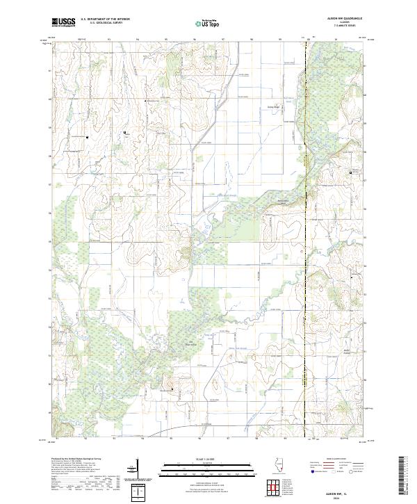
2024 Map of Albion NW
USGS Topo · Published 2024About this map
The Little Wabash River defines the drainage and topography of this eastern Illinois landscape, carving a wide basin through the borderlands of Wayne County and Edwards County. The area is characterized by a complex network of wetlands and watercourses, including Ash Slough, White Oak Slough, and Moore Pond Slough, alongside prominent oxbow features like Half-Moon Pond and Old River Island. These landforms suggest a river system that has frequently shifted its course over time.
Find a feature on this map
53 named features on this map. Tap any name to fly to it.
Don’t see what you’re looking for? This feature index may not catch every label — zoom into the map to look around manually.
Map Details
Editions of this 2024 Albion NW Map
This is the sole edition of this map. No revisions or reprints were ever made.
Other maps of this area

1943 · Albion
USGS Topo · 1:62,500

1946 · Albion
USGS Topo · 1:62,500

1948 · Fairfield
USGS Topo · 1:62,500

1948 · Flora
USGS Topo · 1:62,500

1949 · Olney
USGS Topo · 1:62,500

1949 · Flora
USGS Topo · 1:62,500

1958 · Belleville
USGS Topo · 1:250,000

1962 · Belleville
USGS Topo · 1:250,000

1970 · Enterprise
USGS Topo · 1:24,000
1971 · Golden Gate
USGS Topo · 1:24,000