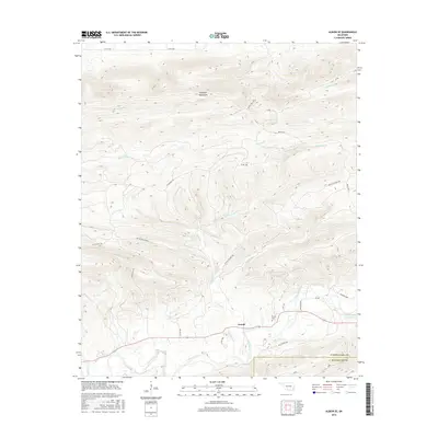
2016 Map of Albion SE
USGS Topo · Published 2016About this map
The Kiamichi Mountains dominate this Oklahoma landscape, defined by a complex network of steep ridges and creek valleys within the Ouachita National Forest region. The small community of Fewell sits near the southern edge of the sheet, where the Little River and Wildhorse Cr converge. For those researching local family history, the Fewell Cem is a key landmark located just north of the settlement.
Find a feature on this map
27 named features on this map. Tap any name to fly to it.
Don’t see what you’re looking for? This feature index may not catch every label — zoom into the map to look around manually.
Map Details
Editions of this 2016 Albion SE Map
This is the sole edition of this map. No revisions or reprints were ever made.
Other maps of this area

1900 · Winding Stair
USGS Topo · 1:125,000

1901 · Tuskahoma
USGS Topo · 1:125,000

1901 · Alikchi
USGS Topo · 1:125,000

1902 · Lukfata
USGS Topo · 1:125,000

1908 · Tuskahoma
USGS Topo · 1:125,000

1909 · Tuskahoma
USGS Topo · 1:125,000

1909 · Winding Stair
USGS Topo · 1:125,000

1950 · Mcalester
USGS Topo · 1:250,000

1960 · Bethel
USGS Topo · 1:62,500

1962 · McAlester
USGS Topo · 1:250,000