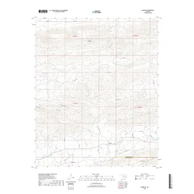
2019 Map of Albion SE
USGS Topo · Published 2019About this map
Fewell and its surrounding mountain terrain are the focal point of this survey of southeastern Oklahoma. Located in the shadow of the Kiamichi Mountains, this area is defined by a dense network of watercourses including the Little River, Black Fork, and Wildhorse Cr. The settlement of Fewell remains a quiet outpost in this landscape, with the Fewell Cem serving as a primary point of interest for genealogists and local historians.
Find a feature on this map
35 named features on this map. Tap any name to fly to it.
Don’t see what you’re looking for? This feature index may not catch every label — zoom into the map to look around manually.
Map Details
Editions of this 2019 Albion SE Map
This is the sole edition of this map. No revisions or reprints were ever made.
Other maps of this area

1900 · Winding Stair
USGS Topo · 1:125,000

1901 · Tuskahoma
USGS Topo · 1:125,000

1901 · Alikchi
USGS Topo · 1:125,000

1902 · Lukfata
USGS Topo · 1:125,000

1908 · Tuskahoma
USGS Topo · 1:125,000

1909 · Tuskahoma
USGS Topo · 1:125,000

1909 · Winding Stair
USGS Topo · 1:125,000

1950 · Mcalester
USGS Topo · 1:250,000

1960 · Bethel
USGS Topo · 1:62,500

1962 · McAlester
USGS Topo · 1:250,000