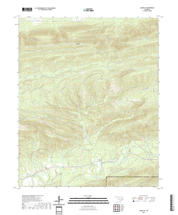
2022 Map of Albion SE
USGS Topo · Published 2022About this map
Fewell sits along the southern edge of the Kiamichi Mountains in a landscape defined by dramatic ridge-and-valley topography and a network of historic forest passages. The settlement is anchored near the Little River, which snakes across the southern border of the map, marking the boundary between Pushmataha and McCurtain counties. This modern survey reveals how local transport relies on a mix of county roads and historical pathways like the Indian Trail Hwy, K Trl, and the Ferguson Trl. These routes navigate the steep elevations between watercourses such as Wildhorse Cr and Black Fork. Genealogists will find the Fewell Cem preserved on the hillside just north of the community, while the presence of features like the Blackfork Lateral and Uphilly Bowers Trl illustrates the intricate system of trails that once supported timbering or regional transit through these heights.
Find a feature on this map
35 named features on this map. Tap any name to fly to it.
Don’t see what you’re looking for? This feature index may not catch every label — zoom into the map to look around manually.
Map Details
Editions of this 2022 Albion SE Map
This is the sole edition of this map. No revisions or reprints were ever made.
Other maps of this area

1900 · Winding Stair
USGS Topo · 1:125,000

1901 · Tuskahoma
USGS Topo · 1:125,000

1901 · Alikchi
USGS Topo · 1:125,000

1902 · Lukfata
USGS Topo · 1:125,000

1908 · Tuskahoma
USGS Topo · 1:125,000

1909 · Tuskahoma
USGS Topo · 1:125,000

1909 · Winding Stair
USGS Topo · 1:125,000

1950 · Mcalester
USGS Topo · 1:250,000

1960 · Bethel
USGS Topo · 1:62,500

1962 · McAlester
USGS Topo · 1:250,000