
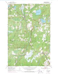
1953 Map of Alborn
USGS Topo · Published 1955About this map
The Duluth Missabe and Iron Range Railroad serves as the industrial backbone of this landscape, with its corridor linking the rail-hubs of Alborn, Coleraine Junction, and Culver. These settlements, along with Arlberg and Burnett, illustrate the mid-century development of St. Louis County, where transportation and timber gave rise to small rural centers. The map reveals a high concentration of community landmarks for genealogists, including Bethlehem Ch, Industrial Ch, and several burial grounds like Spruce Hill Cem and the Indian Cem. Natural features are dominated by the winding path of the Artichoke River and the expansive Cloquet River in the southeast, while numerous water bodies like Artichoke Lake and Schelin Lake punctuate the northern sections. A Rest Home and several town halls further document the social infrastructure of this Northwoods region.
Find a feature on this map
32 named features on this map. Tap any name to fly to it.
Don’t see what you’re looking for? This feature index may not catch every label — zoom into the map to look around manually.
Map Details
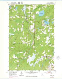
Editions of this 1953 Alborn Map
3 editions found
Other maps of this area

1953 · Canyon
USGS Topo · 1:24,000

1953 · Saginaw
USGS Topo · 1:24,000

1953 · Payne
USGS Topo · 1:24,000

1953 · Brookston
USGS Topo · 1:24,000

1953 · Independence
USGS Topo · 1:24,000

1953 · Brookston NW
USGS Topo · 1:24,000

1953 · Duluth
USGS Topo · 1:250,000

1954 · Martin Lake
USGS Topo · 1:24,000

1954 · Hibbing
USGS Topo · 1:250,000

1957 · Hibbing
USGS Topo · 1:250,000