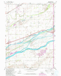
1962 Map of Alda
USGS Topo · Published 1993About this map
Braided river channels of the Platte River dominate this Hall County landscape, illustrating the complex hydrology of the Nebraska plains. The North Channel Platte River, Middle Channel Platte River, and South Channel Platte River divide the land into significant landmasses, including Shoemaker Island and Indian Island. The settlement of Alda sits along the Union Pacific rail line, serving as a focal point for the northern townships. This map captures the mid-century transition of the area, featuring early school districts such as School No 3 and Valley View Sch alongside the development of the interstate system, marked by Interchange 305. Farther south, the community of Doniphan borders the river system near the Campbell Cem. Conservation areas like Mormon Island State Wildlife Management Area reflect the modern use of these riparian zones, while scattered Gravel Pits indicate the local extraction industries of the era.
Find a feature on this map
29 named features on this map. Tap any name to fly to it.
Don’t see what you’re looking for? This feature index may not catch every label — zoom into the map to look around manually.
Map Details
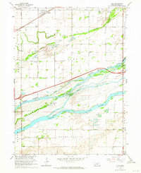
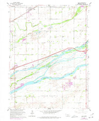
Editions of this 1962 Alda Map
3 editions found
Other maps of this area

1892 · Grand Island
USGS Topo · 1:62,500

1894 · Kenesaw
USGS Topo · 1:62,500

1895 · Grand Island
USGS Topo · 1:62,500

1895 · Wood River
USGS Topo · 1:62,500

1896 · Wood River
USGS Topo · 1:125,000

1898 · Grand Island
USGS Topo · 1:125,000

1955 · Grand Island
USGS Topo · 1:250,000

1957 · Grand Island
USGS Topo · 1:250,000

1958 · Grand Island
USGS Topo · 1:250,000

1962 · Prosser
USGS Topo · 1:24,000