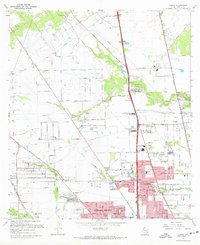
1967 Map of Aldine
USGS Topo · Published 1970About this map
The sprawling suburban and industrial landscape of northern Harris County is captured here during a period of rapid mid-century expansion. Greens Bayou and Halls Bayou snake through the terrain, which is increasingly defined by large-scale institutional footprints like the Veterans Administration Cemetery and local aviation nodes such as Collier Airport and Airman Field. The settlement of Aldine serves as a focal point, supported by community landmarks including Aldine High Sch and Stovall Jr High Sch.
Find a feature on this map
58 named features on this map. Tap any name to fly to it.
Don’t see what you’re looking for? This feature index may not catch every label — zoom into the map to look around manually.
Map Details
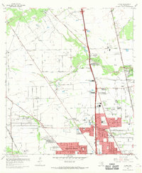
Editions of this 1967 Aldine Map
3 editions found

Other maps of this area

1915 · Houston Heights
USGS Topo · 1:24,000

1915 · Hillendahl
USGS Topo · 1:24,000

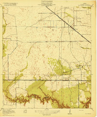
1916 · Aldine
USGS Topo · 1:24,000

1916 · Settegast
USGS Topo · 1:24,000

1916 · Louetta
USGS Topo · 1:24,000

1916 · Satsuma
USGS Topo · 1:24,000

1916 · Humble
USGS Topo · 1:24,000

1916 · Spring
USGS Topo · 1:24,000
1918 · Hillendahl
USGS Topo · 1:31,680
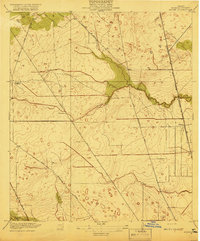
1919 · Aldine
USGS Topo · 1:31,680