
1966 Map of Alexandria East
USGS Topo · Published 1968About this map
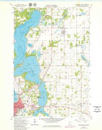
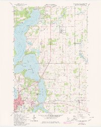
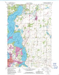
The sprawling waters of Lake Carlos and Lake Le Homme Dieu define the landscape of Douglas County in the mid-1960s. This survey reveals a region defined by its glacial lakes and the winding Long Prairie River, which transitions into a settled landscape of religious camps and small communities. To the south, the city of Alexandria is shown with its local school system including Washington Sch and Jefferson Sch, as well as significant infrastructure like the local Waterworks.
Find a feature on this map
47 named features on this map. Tap any name to fly to it.
Don’t see what you’re looking for? This feature index may not catch every label — zoom into the map to look around manually.
Map Details
Editions of this 1966 Alexandria East Map
4 editions found
Other maps of this area

1953 · Brainerd
USGS Topo · 1:250,000

1953 · Saint Cloud
USGS Topo · 1:250,000

1957 · Brainerd
USGS Topo · 1:250,000

1957 · Saint Cloud
USGS Topo · 1:250,000

1958 · Saint Cloud
USGS Topo · 1:250,000

1958 · Brainerd
USGS Topo · 1:250,000

1965 · Brainerd
USGS Topo · 1:250,000

1966 · Alexandria West
USGS Topo · 1:24,000

1966 · Osakis
USGS Topo · 1:24,000

1966 · Lake Osakis West
USGS Topo · 1:24,000
Featured Places
- Alexandria, MN
- Carlos, MN
- Nelson, MN
- Olson's Mobile Home Park, Alexandria
- Hustad Mobile Home Park, Alexandria