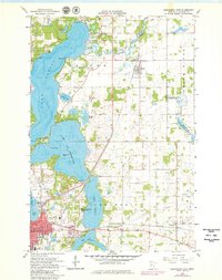
1966 Map of Alexandria East
USGS Topo · Published 1980About this map
The Long Prairie River and the expansive waters of Lake Carlos define this glacial landscape in Douglas County. By the mid-1960s, the area had developed into a significant recreation and agricultural hub, anchored by the sprawling Alexandria to the south and the smaller settlements of Carlos and Nelson. The map documents a transition in local transportation, showing the active Great Northern and Soo Line rail corridors alongside an Old Railroad Grade that reflects shifting transit patterns.
Find a feature on this map
44 named features on this map. Tap any name to fly to it.
Don’t see what you’re looking for? This feature index may not catch every label — zoom into the map to look around manually.
Map Details
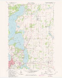
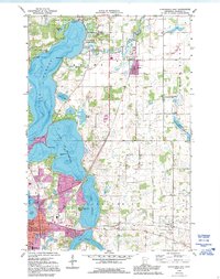
Editions of this 1966 Alexandria East Map
4 editions found

Other maps of this area

1953 · Brainerd
USGS Topo · 1:250,000

1953 · Saint Cloud
USGS Topo · 1:250,000

1957 · Brainerd
USGS Topo · 1:250,000

1957 · Saint Cloud
USGS Topo · 1:250,000

1958 · Saint Cloud
USGS Topo · 1:250,000

1958 · Brainerd
USGS Topo · 1:250,000

1965 · Brainerd
USGS Topo · 1:250,000

1966 · Alexandria West
USGS Topo · 1:24,000

1966 · Osakis
USGS Topo · 1:24,000

1966 · Lake Osakis West
USGS Topo · 1:24,000
Featured Places
- Alexandria, MN
- Carlos, MN
- Nelson, MN
- Olson's Mobile Home Park, Alexandria
- Hustad Mobile Home Park, Alexandria