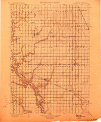
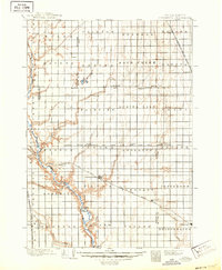
1899 Map of Alexandria
USGS Topo · Published 1899About this map
The James River meanders through the western reaches of this South Dakota landscape, a defining corridor for early settlement and transport before the turn of the century. Hand-drawn during surveys in the mid-1890s, this document captures the established township grids of Hanson and surrounding counties. The town of Alexandria serves as a central hub, positioned at the intersection of the prairie landscape and the Chicago Milwaukee and St. Paul R.R..
Find a feature on this map
61 named features on this map. Tap any name to fly to it.
Don’t see what you’re looking for? This feature index may not catch every label — zoom into the map to look around manually.
Map Details
Editions of this 1899 Alexandria Map
5 editions found
Other maps of this area
1898 · Olivet
USGS Topo · 1:125,000
1898 · Parker
USGS Topo · 1:125,000
1898 · Huron
USGS Topo · 1:125,000
1899 · Mitchell
USGS Topo · 1:125,000
1899 · De Smet
USGS Topo · 1:125,000
1953 · Huron
USGS Topo · 1:250,000

1953 · Watertown
USGS Topo · 1:250,000
1954 · Huron
USGS Topo · 1:250,000

1955 · Sioux Falls
USGS Topo · 1:250,000

1955 · Mitchell
USGS Topo · 1:250,000