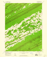
1959 Map of Alfarata
USGS Topo · Published 1960About this map
Bald Eagle Jacks Mountain and Shade Mountain define the rhythmic, parallel ridges of this Pennsylvania landscape, where narrow valleys have long dictated the patterns of settlement. In the central valley, the community of Alfarata sits alongside Meadow Creek, surrounded by rural infrastructure including the Alfarata Cem and St Marks Ch. To the northeast, Belltown occupies a clearing near the Belltown Cem and a nearby Borrow Pit, indicating local industrial activity. The map reveals the intricate human footprint within the gaps and hollows, such as Soradoville and the Decatur Sch. Notable landmarks include Seawra Cave and the Wagner Lookout Tower perched high on the southern ridge. A trace of the region's transportation history is visible in the Old Railroad Grade winding through the eastern hills, marking the path of former commerce across the Mifflin-Juniata county line.
Find a feature on this map
61 named features on this map. Tap any name to fly to it.
Don’t see what you’re looking for? This feature index may not catch every label — zoom into the map to look around manually.
Map Details
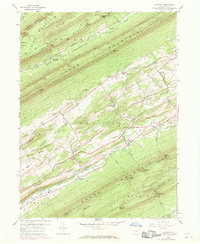
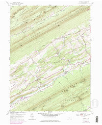
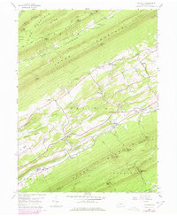
Editions of this 1959 Alfarata Map
4 editions found
Other maps of this area

1924 · Centre Hall
USGS Topo · 1:62,500

1924 · Lewistown
USGS Topo · 1:62,500

1925 · Mifflintown
USGS Topo · 1:48,000

1927 · Lewisburg
USGS Topo · 1:62,500

1929 · Centre Hall
USGS Topo · 1:62,500

1934 · Mifflintown
USGS Topo · 1:62,500

1937 · Mifflintown
USGS Topo · 1:62,500

1937 · Millheim
USGS Topo · 1:48,000

1941 · Millheim
USGS Topo · 1:62,500

1943 · Lewistown
USGS Topo · 1:125,000
Featured Places
- Decatur Township, PA
- Derry Township, PA
- Armagh Township, PA
- Snook, Decatur Township
- Shindle, Decatur Township