
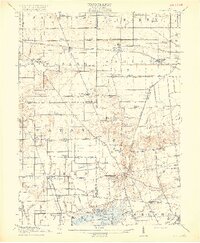
1915 Map of Alger
USGS Topo · Published 1915About this map
Erie RR tracks dominate the northern half of this rural landscape, connecting the growing settlements of Harrod, Alger, and McGuffey during the early twentieth century. This survey documents a transition in land use, showing a dense network of country schoolhouses such as College School, Eureka School, and Beaverdam School that served the farmsteads between the Auglaize River and the Scioto River.
Find a feature on this map
103 named features on this map. Tap any name to fly to it.
Don’t see what you’re looking for? This feature index may not catch every label — zoom into the map to look around manually.
Map Details
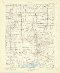
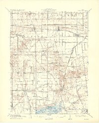
Editions of this 1915 Alger Map
4 editions found
Other maps of this area

1905 · Arlington
USGS Topo · 1:62,500

1906 · Lima
USGS Topo · 1:62,500

1906 · Columbus Grove
USGS Topo · 1:62,500

1907 · Bluffton
USGS Topo · 1:62,500

1907 · Arlington
USGS Topo · 1:24,000

1908 · Columbus Grove
USGS Topo · 1:62,500

1913 · Alger
USGS Topo · 1:48,000

1913 · Bellefontaine
USGS Topo · 1:48,000

1913 · Sidney
USGS Topo · 1:62,500

1913 · East Liberty
USGS Topo · 1:62,500