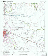
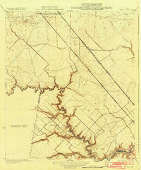
1956 Map of Algoa
USGS Topo · Published 1977About this map
Industrial expansion and agricultural infrastructure define this coastal prairie landscape where the Brazoria Co Galveston Co line intersects significant petroleum operations. The Hastings Oil Field and Algoa Oil Field dominate the terrain with numerous wells and tank batteries, while the American Canal and various siphons and flumes illustrate the sophisticated water management required for the region's land use. Transportation is anchored by the dual presence of the Atchison Topeka and Santa Fe and the Missouri Pacific railroads, which facilitated the growth of centers like Alvin and the small siding at Algoa. Notable local history markers include the Confederate Cemetery and the Magnolia Cem, situated near the winding course of Dickinson Bayou. Updated in the mid-1970s, the map also captures modern additions such as a Drive-in Theater and multiple broadcasting landmarks, including the Ty Tower (KGUL).
Find a feature on this map
25 named features on this map. Tap any name to fly to it.
Don’t see what you’re looking for? This feature index may not catch every label — zoom into the map to look around manually.
Map Details
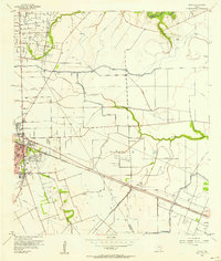
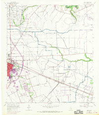
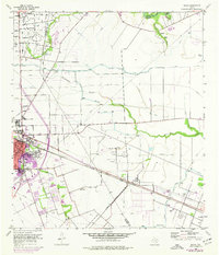
Editions of this 1956 Algoa Map
4 editions found
Other maps of this area

1916 · Genoa
USGS Topo · 1:24,000

1916 · Seabrook
USGS Topo · 1:24,000

1920 · Seabrook
USGS Topo · 1:31,680

1920 · Genoa
USGS Topo · 1:31,680

1920 · Mykawa
USGS Topo · 1:31,680

1929 · Dickinson
USGS Topo · 1:24,000

1929 · Algoa
USGS Topo · 1:24,000

1929 · Hitchcock
USGS Topo · 1:24,000

1932 · Algoa
USGS Topo · 1:31,680
1932 · Genoa
USGS Topo · 1:31,680