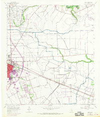
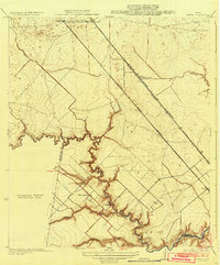
1956 Map of Algoa
USGS Topo · Published 1970About this map
The growing town of Alvin anchors this mid-century landscape where agricultural drainage systems meet the expanding Texas petroleum industry. The coastal prairie is defined by the American Canal and an intricate network of ditches feeding into Mustang Bayou and Dickinson Bayou. While the purple revisions from 1969 show suburban expansion, the original 1956 survey captures the established footprint of the Hastings Oil Field and the Algoa Oil Field, complete with numerous tanks and pipeline routes.
Find a feature on this map
22 named features on this map. Tap any name to fly to it.
Don’t see what you’re looking for? This feature index may not catch every label — zoom into the map to look around manually.
Map Details
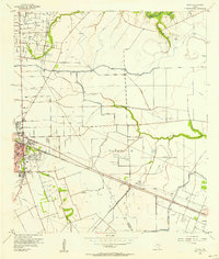
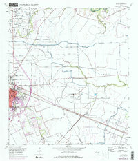
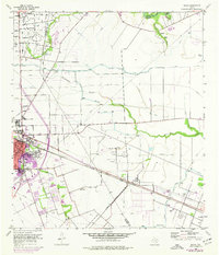
Editions of this 1956 Algoa Map
4 editions found
Other maps of this area

1916 · Genoa
USGS Topo · 1:24,000

1916 · Seabrook
USGS Topo · 1:24,000

1920 · Seabrook
USGS Topo · 1:31,680

1920 · Genoa
USGS Topo · 1:31,680

1920 · Mykawa
USGS Topo · 1:31,680

1929 · Dickinson
USGS Topo · 1:24,000

1929 · Algoa
USGS Topo · 1:24,000

1929 · Hitchcock
USGS Topo · 1:24,000

1932 · Algoa
USGS Topo · 1:31,680
1932 · Genoa
USGS Topo · 1:31,680