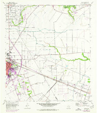
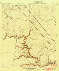
1956 Map of Algoa
USGS Topo · Published 1977About this map
The town of Alvin serves as the primary hub on this coastal Texas survey, situated at the junction of the Atchison Topeka and Santa Fe and Missouri Pacific railroads. The landscape is a complex network of natural drainage and human engineering, where Mustang Bayou and Dickinson Bayou wind between extensive irrigation works like the American Canal. Petroleum extraction is a dominant industrial feature, with the Hastings Oil Field and Algoa Oil Field marked by numerous oil tanks and derrick sites. Cultural landmarks include the Confederate Cemetery and the presence of the Racetrack and Golf Course, reflecting the recreational and historical layers of the community during the mid-20th century. Purple revisions highlight the physical expansion of Alvin and the growth of infrastructure such as the Telephone Relay Tower and TV Tower (KGUL).
Find a feature on this map
25 named features on this map. Tap any name to fly to it.
Don’t see what you’re looking for? This feature index may not catch every label — zoom into the map to look around manually.
Map Details
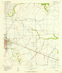
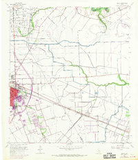
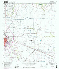
Editions of this 1956 Algoa Map
4 editions found
Other maps of this area

1916 · Genoa
USGS Topo · 1:24,000

1916 · Seabrook
USGS Topo · 1:24,000

1920 · Seabrook
USGS Topo · 1:31,680

1920 · Genoa
USGS Topo · 1:31,680

1920 · Mykawa
USGS Topo · 1:31,680

1929 · Dickinson
USGS Topo · 1:24,000

1929 · Algoa
USGS Topo · 1:24,000

1929 · Hitchcock
USGS Topo · 1:24,000

1932 · Algoa
USGS Topo · 1:31,680
1932 · Genoa
USGS Topo · 1:31,680