
1962 Map of Alikchi
USGS Topo · Published 1964About this map
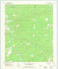
Little River winds through the southwestern portion of this landscape, its path punctuated by named Rapids and bordered by the community of Ringold. The area reflects a rural network of small watercourses and family or community landmarks, such as Wilson Chapel Cem and Alikchi Spring. Significant drainage systems like Big Sulphur Creek, Cypress Creek, and Wilson Creek carve through the terrain, illustrating the hydrologic character of the McCurtain County and Pushmataha County borderlands. The topography is defined by distinct uplands including Kiamichi, Fowler, and Sulphur, which dictate the flow of the local creeks. Evidence of small-scale industry or land use is seen in the Gravel Pit located near the river, while natural features like Tucker Lake and Gum Spring provide further points of orientation for those studying the mid-century geography of this Oklahoma region.
Find a feature on this map
20 named features on this map. Tap any name to fly to it.
Don’t see what you’re looking for? This feature index may not catch every label — zoom into the map to look around manually.
Map Details
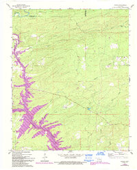
Editions of this 1962 Alikchi Map
3 editions found
Other maps of this area

1901 · Alikchi
USGS Topo · 1:125,000

1902 · Lukfata
USGS Topo · 1:125,000

1950 · Mcalester
USGS Topo · 1:250,000

1959 · Golden
USGS Topo · 1:62,500

1960 · Bethel
USGS Topo · 1:62,500

1962 · McAlester
USGS Topo · 1:250,000

1962 · Wright City
USGS Topo · 1:24,000

1962 · Sobol
USGS Topo · 1:24,000

1962 · Caney Mountain
USGS Topo · 1:24,000

1962 · Signal Mountain
USGS Topo · 1:24,000