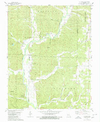
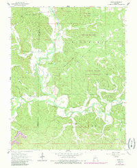
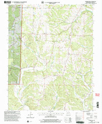
1980 Map of Allbright
USGS Topo · Published 1980This historical map portrays the area of Allbright in 1980, primarily covering Bollinger County as well as portions of Madison County and Wayne County. Featuring a scale of 1:24000, this map provides a highly detailed snapshot of the terrain, roads, buildings, counties, and historical landmarks in the Allbright region at the time. Published in 1980, it is the sole known edition of this map.
Map Details
Editions of this 1980 Allbright Map
This is the sole edition of this map. No revisions or reprints were ever made.
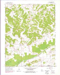
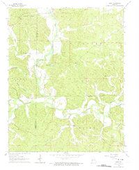
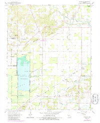
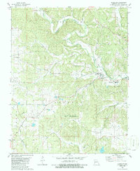
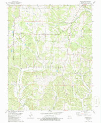
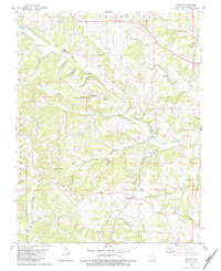
Historical Maps of Wayne County Through Time
11 maps found

1959 Patton
Bollinger County, MO
1963 Dongola
Bollinger County, MO
1963 Gipsy
Bollinger County, MO
1963 Sturdivant
Bollinger County, MO
1964 Gipsy
Bollinger County, MO
1980 Allbright
Bollinger County, MO
1980 Glenallen
Bollinger County, MO
1980 Hurricane
Bollinger County, MO
1980 Scopus
Bollinger County, MO
2000 Hurricane
Bollinger County, MO
2000 Patton
Bollinger County, MO