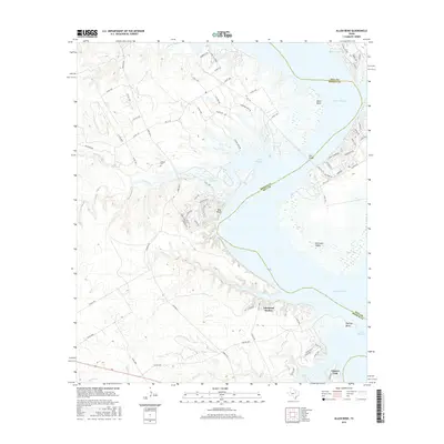
2016 Map of Allen Bend
USGS Topo · Published 2016About this map
Lake Whitney dominates this central Texas landscape, creating a complex shoreline that defines the border between Hill Co and Bosque Co. The 2016 survey illustrates a modern recreation-centered geography, where residential developments like Lakewood Harbor and Laguna Park are situated along the eastern and southern edges of the reservoir. Notable terrain features such as Allen Bend, Bee Bluff, and Walling Bend mark the deep indentations and high points where the Brazos River was dammed, while the McCowan Valley indicates the lower-lying terrain now bordered by water. Away from the primary shore, the map traces several significant tributaries including Cedron Cr and King Cr. The interior is crisscrossed by a dense network of farm-to-market roads and county routes, punctuated by the Cedron Cem, which remains a vital genealogical anchor for families in this corner of Bosque County.
Find a feature on this map
78 named features on this map. Tap any name to fly to it.
Don’t see what you’re looking for? This feature index may not catch every label — zoom into the map to look around manually.
Map Details
Editions of this 2016 Allen Bend Map
This is the sole edition of this map. No revisions or reprints were ever made.
Other maps of this area

1888 · Meridian
USGS Topo · 1:125,000

1889 · Granbury
USGS Topo · 1:125,000

1891 · Cleburne
USGS Topo · 1:125,000

1892 · Waco
USGS Topo · 1:125,000

1894 · Meridian
USGS Topo · 1:125,000

1894 · Cleburne
USGS Topo · 1:125,000

1920 · Waco
USGS Topo · 1:125,000

1924 · Waco 2-b
USGS Topo · 1:48,000

1924 · Cleburne 3-C
USGS Topo · 1:48,000

1927 · Blum
USGS Topo · 1:62,500