Loading...
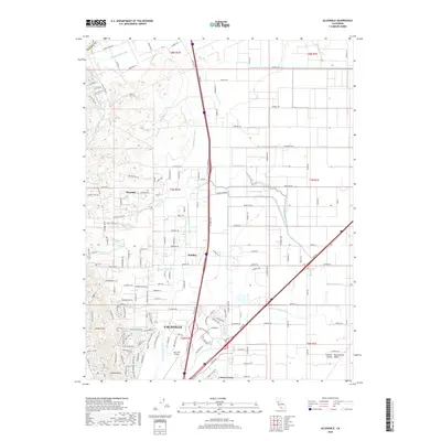
Loading map...1953 Map of Allendale
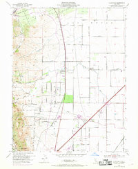
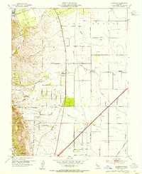
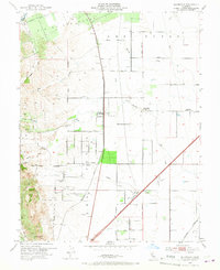
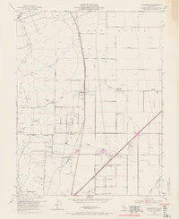
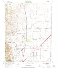
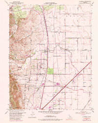
USGS Topo · Published 1969About this map
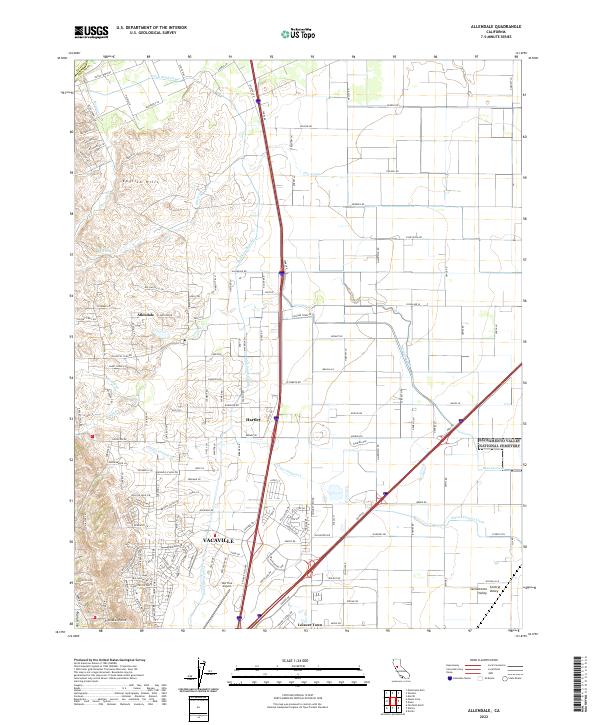
Los Putos Grant legacy is evident across this agricultural landscape, where land boundaries still follow the historical Mexican land grant lines amidst modernizing infrastructure. The Southern Pacific railroad corridor serves as the primary spine for small settlements like Allendale, Hartley, and Gibson, while the English Hills rise to the west, cut by numerous seasonal drainages such as Pleasant Creek and Sweany Creek.
Find a feature on this map
30 named features on this map. Tap any name to fly to it.
Don’t see what you’re looking for? This feature index may not catch every label — zoom into the map to look around manually.
Map Details
Date Portrayed1953
Date Published1969
PublisherU.S. Geological Survey
Map TypeTopographic
Scale1:24,000
Physical Dimensions22 x 26.9 inches
Editions of this 1953 Allendale Map
6 editions found
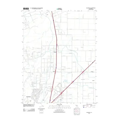
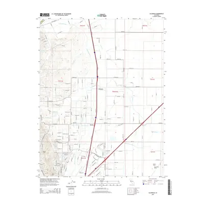
Historical Maps of Vacaville Through Time
5 maps found
Featured Locations
Source Details
SourceU.S. Geological Survey
CopyrightPublic Domain