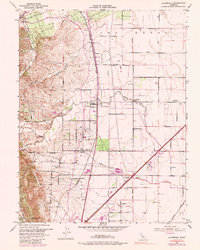
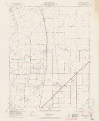
1953 Map of Allendale
USGS Topo · Published 1988About this map
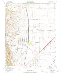
Rio De Los Putos Grant Bdy defines the historical land tenure of this Solano County landscape, where the foothills of Drakes Point meet the agricultural flats of the Sacramento Valley. The Southern Pacific railroad corridor serves as the primary spine for development, linking small rail-side communities like Hartley, Gibson, and the central hub of Allendale. By the mid-20th century, the expansion of water infrastructure is evident through the Putah South Canal and the Putah Creek drainage. Local social foundations are well-documented, from the Union Chapel to the Browns Valley School and the now-defunct Grant School. This era also sees the emergence of modern utility and transport hubs, including the Vaca Dixon Substation and the Nut Tree Airport, which reflect the region's transition toward more intensive land use and infrastructure development during the post-war period.
Find a feature on this map
31 named features on this map. Tap any name to fly to it.
Don’t see what you’re looking for? This feature index may not catch every label — zoom into the map to look around manually.
Map Details
Editions of this 1953 Allendale Map
6 editions found
Other maps of this area

1902 · Napa
USGS Topo · 1:125,000

1907 · Woodland
USGS Topo · 1:62,500

1908 · Vacaville
USGS Topo · 1:62,500

1915 · Merritt
USGS Topo · 1:31,680

1916 · Dixon
USGS Topo · 1:31,680

1916 · Winters
USGS Topo · 1:31,680

1916 · Maine Prairie
USGS Topo · 1:31,680

1917 · Wolfskill
USGS Topo · 1:31,680

1917 · Elmira
USGS Topo · 1:31,680

1921 · Mt. Vaca
USGS Topo · 1:62,500