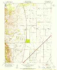
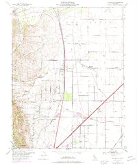
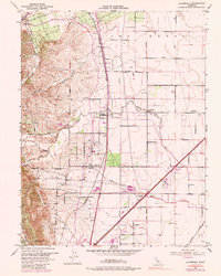
1953 Map of Allendale
USGS Topo · Published 1954About this map
Los Putos Grant shapes the pastoral and agricultural character of this Solano County landscape in the early 1950s. The settlement of Allendale serves as a central hub, situated near Union Chapel and a network of watercourses including Sweeney Creek and Canyon Creek. The Southern Pacific railroad tracks bisect the territory, passing through the small community of Hartley and the Gibson station, marking the vital transportation corridor of the era.
Find a feature on this map
28 named features on this map. Tap any name to fly to it.
Don’t see what you’re looking for? This feature index may not catch every label — zoom into the map to look around manually.
Map Details
Editions of this 1953 Allendale Map
6 editions found
Other maps of this area

1902 · Napa
USGS Topo · 1:125,000

1907 · Woodland
USGS Topo · 1:62,500

1908 · Vacaville
USGS Topo · 1:62,500

1915 · Merritt
USGS Topo · 1:31,680

1916 · Dixon
USGS Topo · 1:31,680

1916 · Winters
USGS Topo · 1:31,680

1916 · Maine Prairie
USGS Topo · 1:31,680

1917 · Wolfskill
USGS Topo · 1:31,680

1917 · Elmira
USGS Topo · 1:31,680

1921 · Mt. Vaca
USGS Topo · 1:62,500